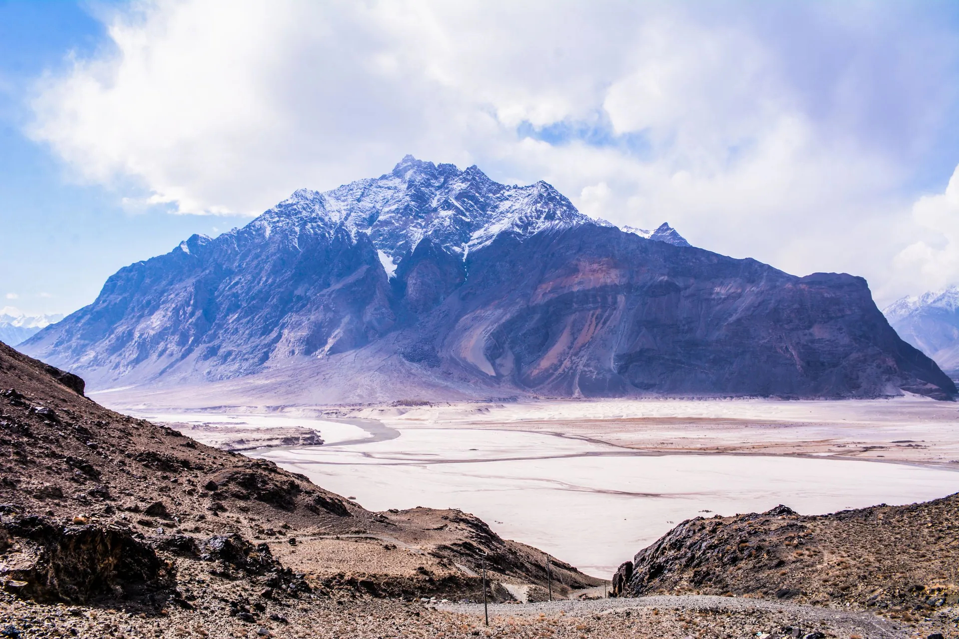
Where to go in the north
منزلیںSeven regions, from the hill stations near Islamabad to the Karakoram on the China border.
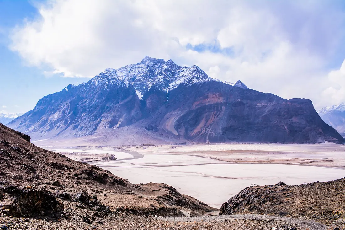
Gilgit-Baltistan
Where the Karakoram, Himalaya and Hindu Kush meet: K2, Nanga Parbat, Hunza, Skardu and the Karakoram Highway to China.
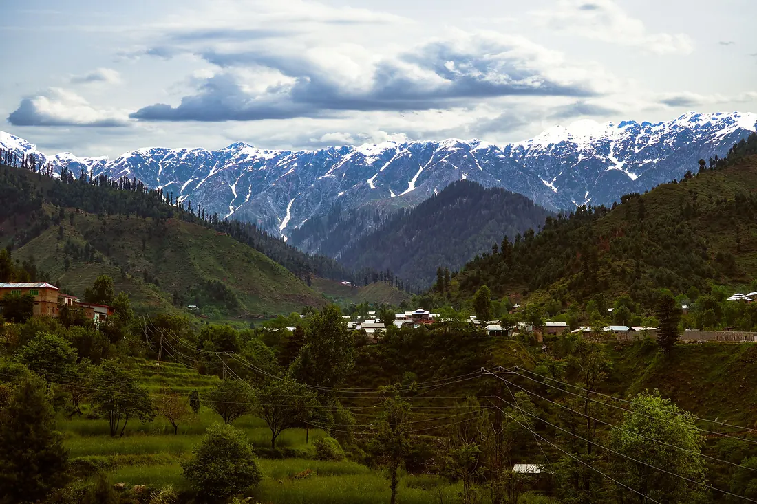
Swat Valley
Green river valley in Khyber Pakhtunkhwa, about 4–5 hours from Islamabad, once called the Switzerland of the East. It runs from the plains at Mingora up to glacier lakes above Kalam.
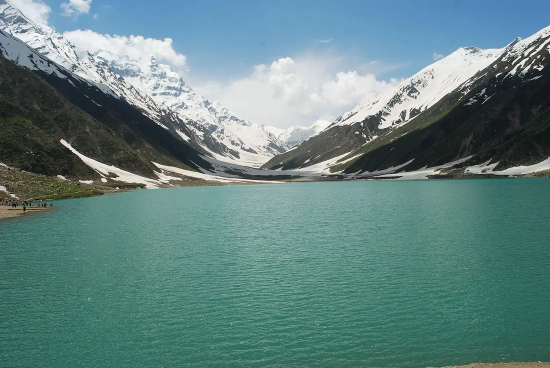
Kaghan & Naran
The Kunhar River valley in Mansehra district: lakes of folklore, high meadows and the road over Babusar Pass to Gilgit-Baltistan.
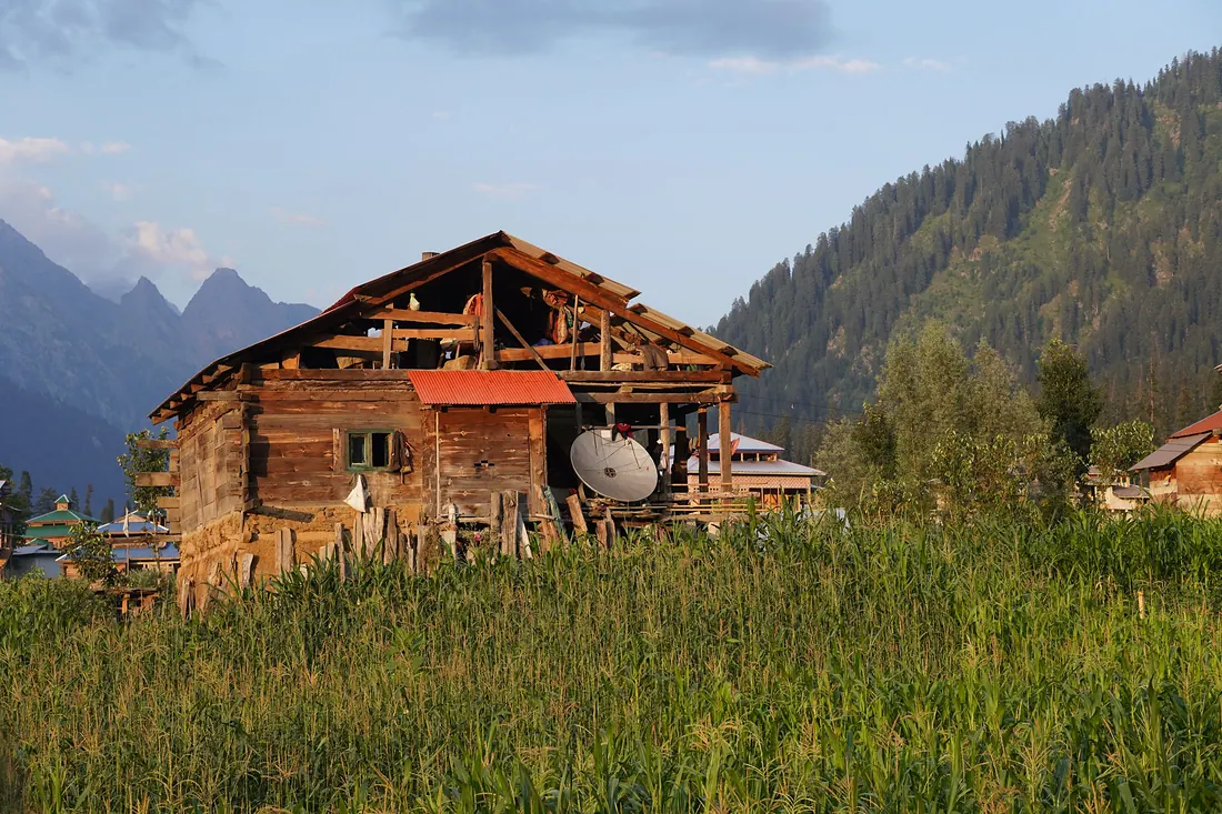
Azad Kashmir
Forested hills of Poonch and the long Neelum Valley along the Line of Control: green, quiet and close to Islamabad.
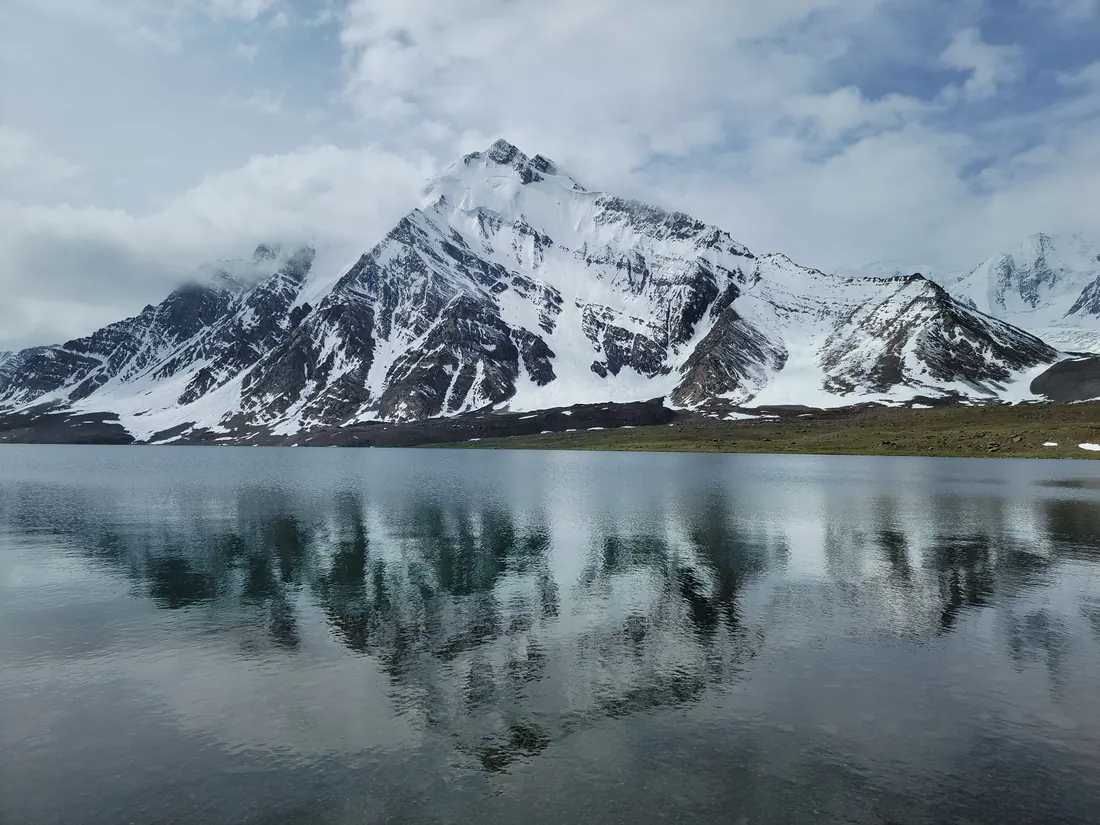
Chitral
Remote valley under Tirich Mir, home of the Kalash people and the Shandur polo festival, now reachable all year through the Lowari Tunnel.
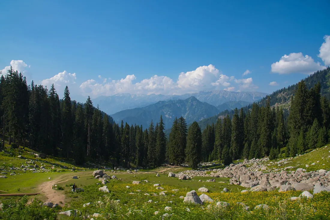
Dir & Kumrat
Forested valleys of Upper Dir along the Panjkora River, led by Kumrat, one of the north's favourite camping valleys.
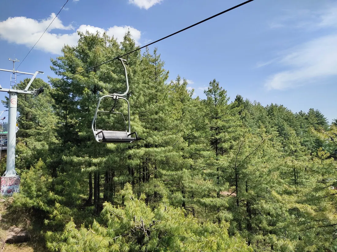
Murree & Galiyat
Pine-covered hill stations on the ridge between Islamabad and Abbottabad, the closest mountain escape from the capital.
All 57 destinations
Arang Kel
A storybook village of wooden houses on a high meadow above Kel in upper Neelum, reached by a small cable car across the river and a steep walk.
Astore & Rama Meadows
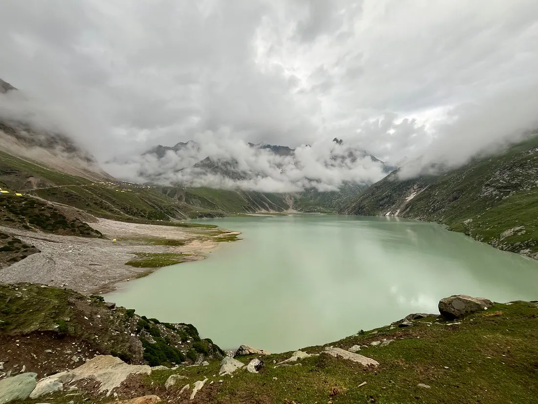
Valley on the east side of Nanga Parbat.
Attabad Lake
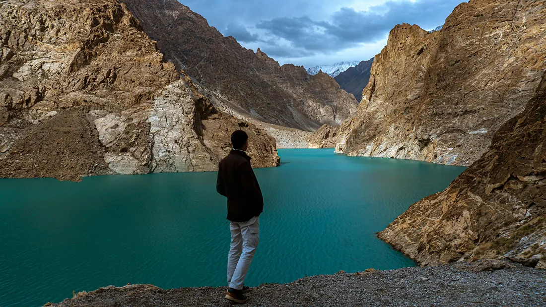
A turquoise lake along the Karakoram Highway between Hunza and Gojal, with boating, jet skis and lakeside resorts.
Babusar Top & Lulusar
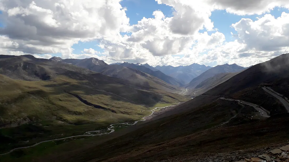
The highest point of the Kaghan Valley road, a windswept pass between Kaghan and Chilas, with Lulusar Lake on the way up.
Bahrain
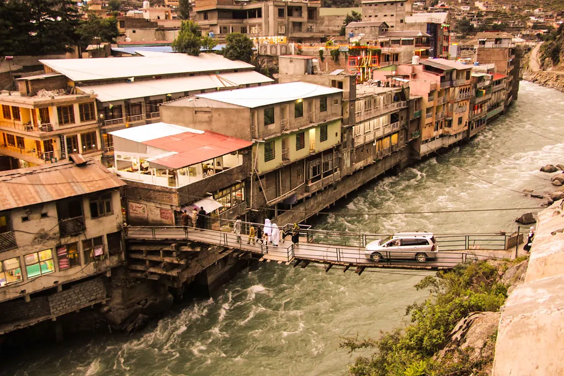
A lively town where the Daral stream meets the Swat River, with hotels on the water and the trail to Daral Lake.
Butkara Stupa
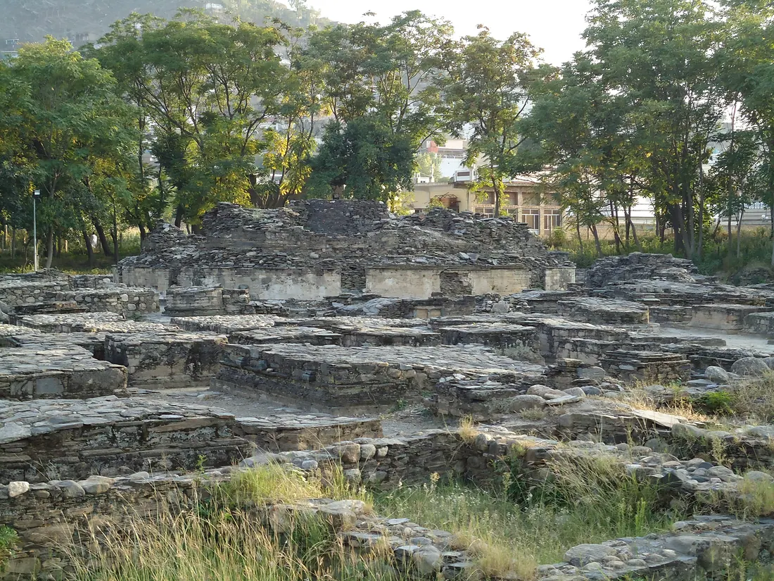
The ruins of one of the most important Buddhist sanctuaries of Gandhara, right inside Mingora: a great central stupa ringed by more than two hundred smaller stupas and shrines.
Chilas
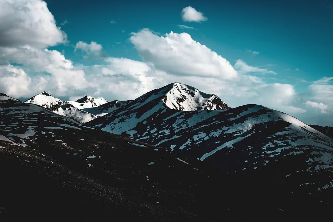
A hot, rocky town on the Indus and the Karakoram Highway, where the Babusar road comes down.
Chitral & Kalash Valleys
A remote town under Tirich Mir (7,708 m), the highest peak of the Hindu Kush, and the gateway to the Kalash valleys of Bumburet, Rumbur and Birir.
Deosai Plains
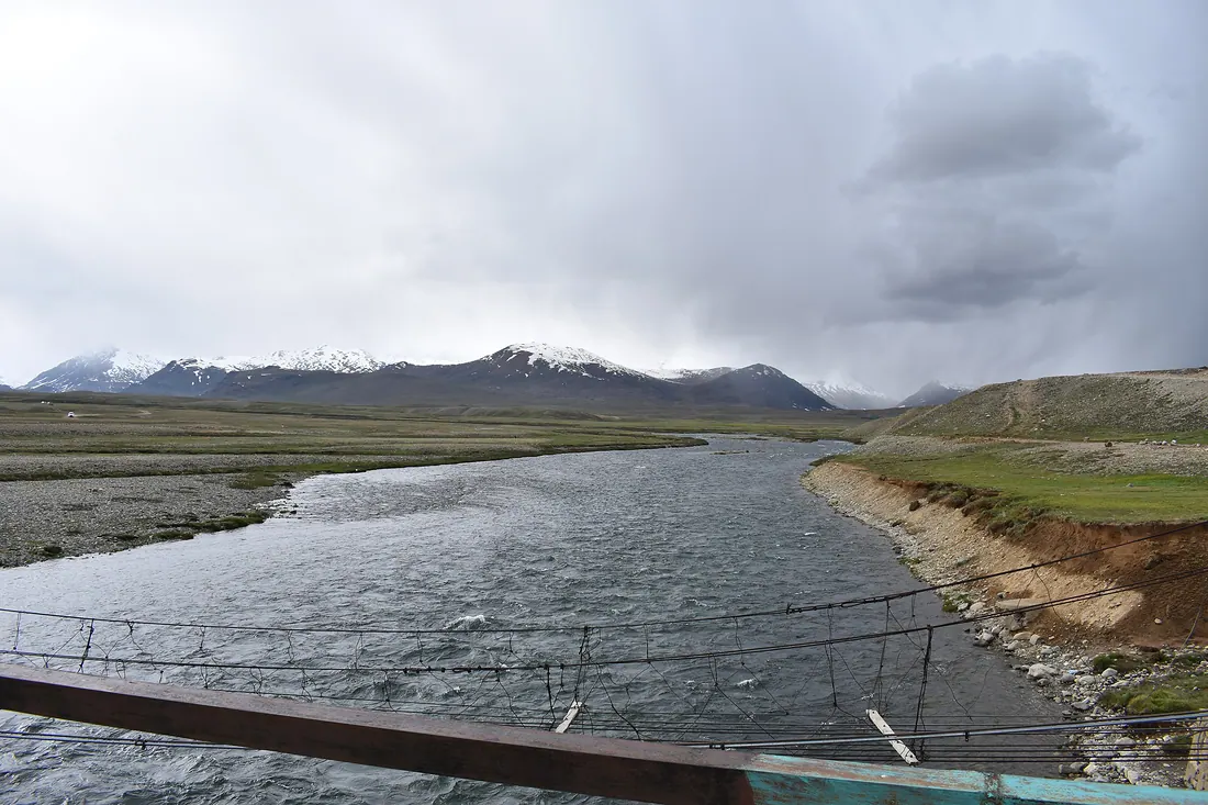
One of the highest plateaus in the world, a national park of wildflowers and streams, home of the Himalayan brown bear.
Fairy Meadows
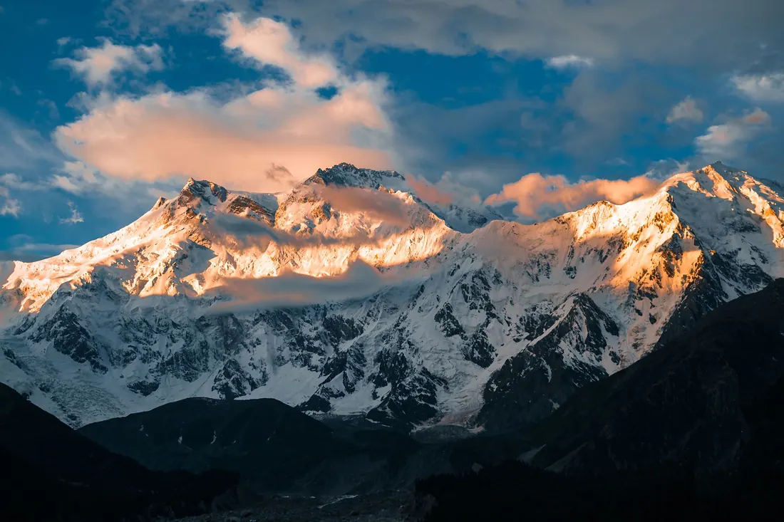
A meadow in pine forest facing the north face of Nanga Parbat (8,126 m), the ninth-highest mountain on earth.
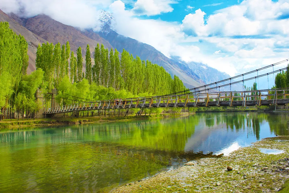
Gilgit City
The capital and crossroads of Gilgit-Baltistan, on the Gilgit River, where roads branch to Hunza, Naltar, Ghizer and Skardu.
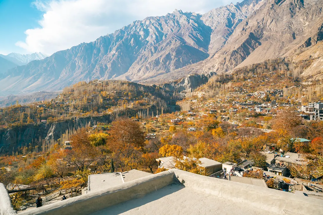
Hunza (Karimabad)
Terraced valley under Rakaposhi and Ultar peaks, with old forts, apricot orchards, Attabad Lake and the road to Khunjerab Pass.
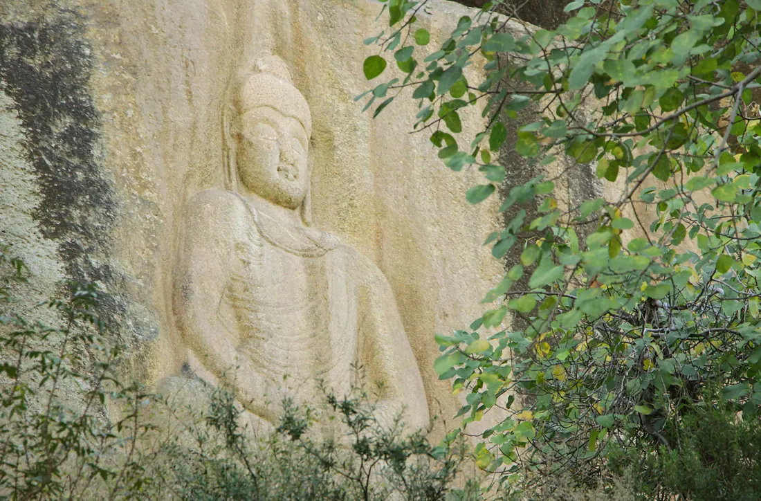
Jahanabad Buddha
A giant seated Buddha carved into a granite cliff above the village of Jahanabad (Shakhorai), one of the largest rock carvings of its kind in South Asia.
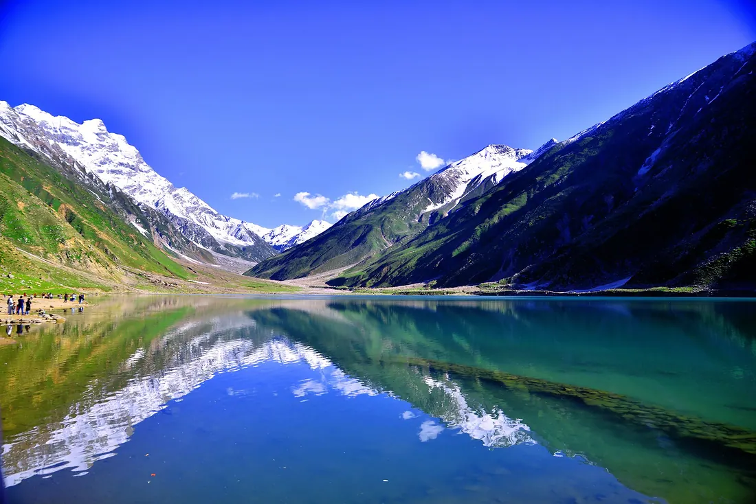
Kaghan
The town that gives the whole valley its name, set along the Kunhar River below Naran.
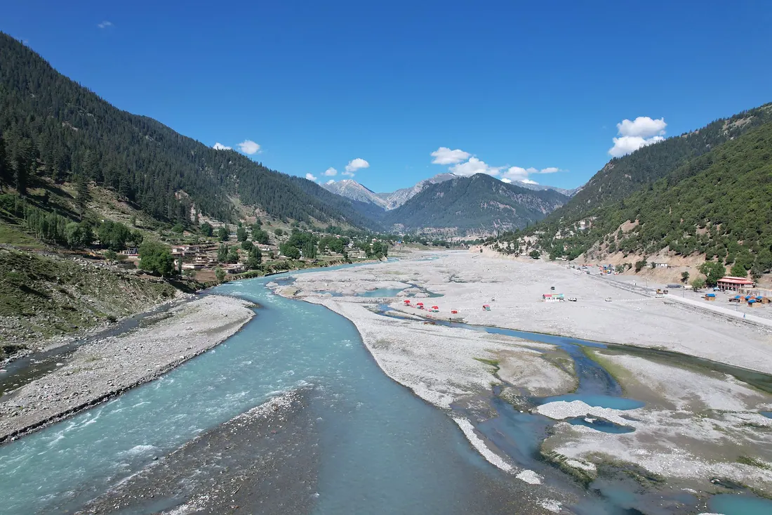
Kalam
The capital of upper Swat, where the Ushu and Utror rivers join to form the Swat River.
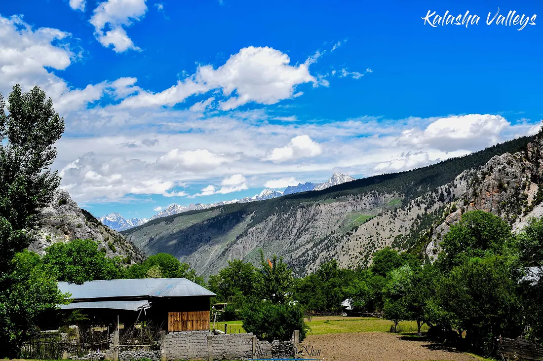
Kalash Valleys
Three valleys near Chitral, Bumburet, Rumbur and Birir, home to the Kalash people, with their own faith, colourful dress, wooden houses and spring, summer and winter festivals.
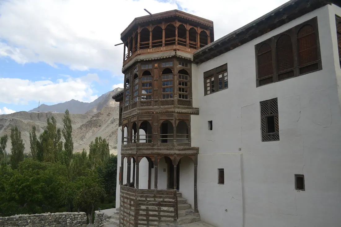
Khaplu
Quiet town in the Ghanche valley east of Skardu, with the beautiful Khaplu Palace and Chaqchan Mosque, and views towards Masherbrum.
Kumrat Valley
A deep valley of giant deodar trees, meadows and the Panjkora River in Upper Dir.
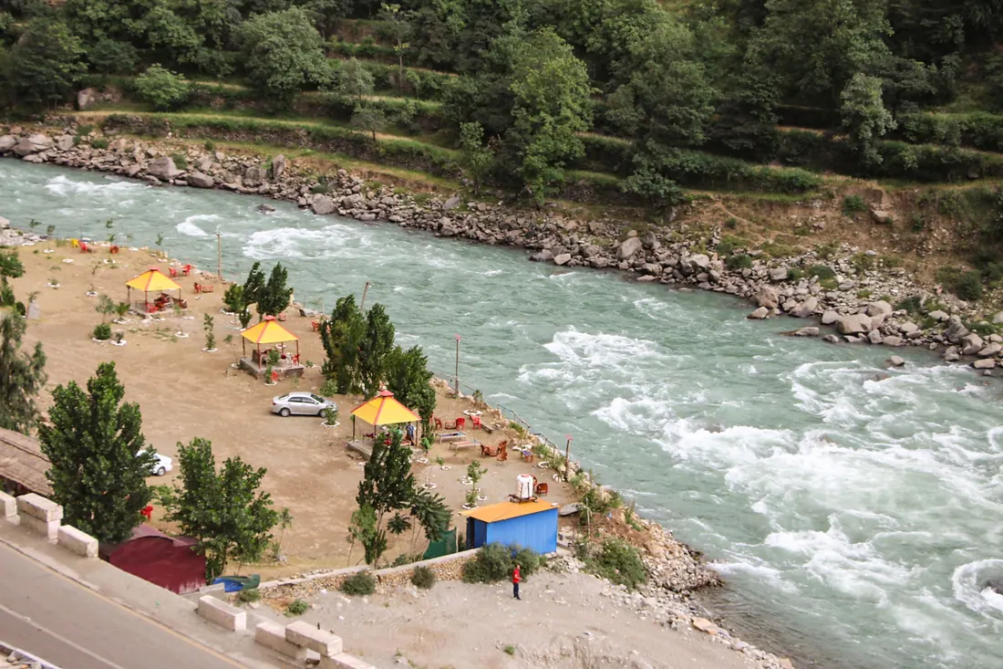
Madyan
A riverside town where Swat starts to turn into the mountains: cool air, trout and a quieter base than Mingora.
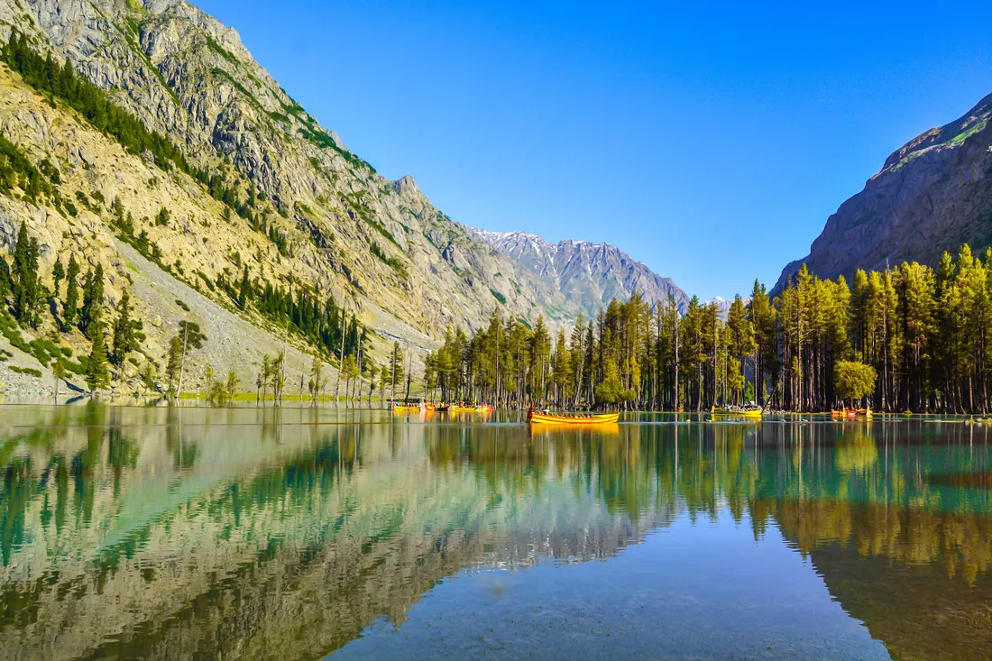
Mahodand Lake
A wide lake about 35–40 km above Kalam surrounded by meadows and snow peaks.
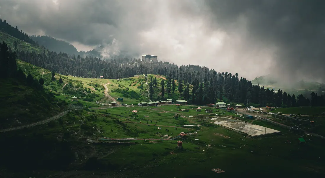
Malam Jabba
Pakistan's best-known ski resort, on a ridge about 45 km from Mingora, with ski slopes, a chairlift, zipline and pine forest views in summer.
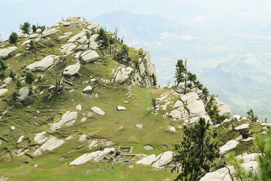
Marghazar & White Palace
A cool side valley 13 km from Saidu Sharif with the white marble summer palace of the first Wali of Swat, now a hotel, at the foot of Elum mountain.
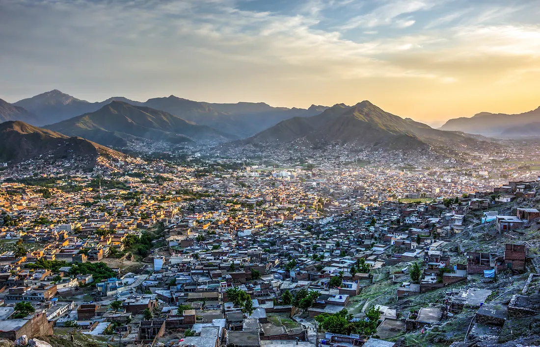
Mingora & Saidu Sharif
The twin cities at the heart of Swat: Mingora the busy market town, Saidu Sharif the old seat of the Wali of Swat.
Murree
Pakistan's best-known hill station, an hour and a half from Islamabad, with Mall Road, pine ridges and winter snow.
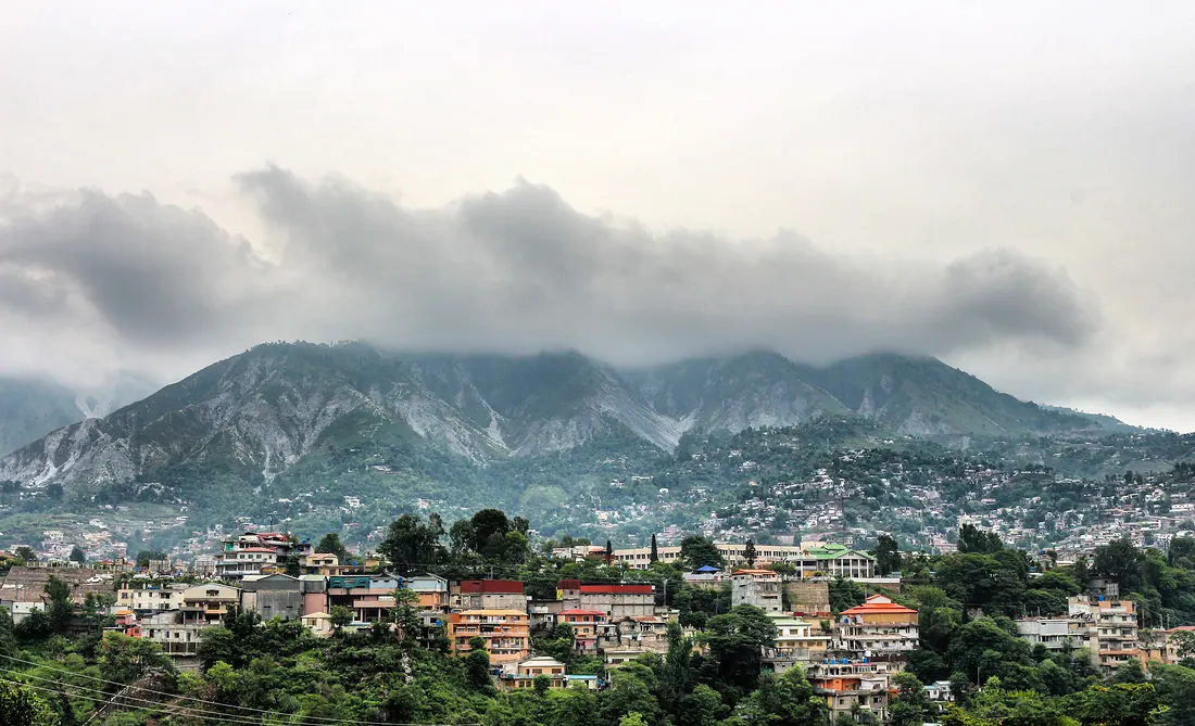
Muzaffarabad & Pir Chinasi
Capital of Azad Kashmir where the Neelum and Jhelum rivers meet.
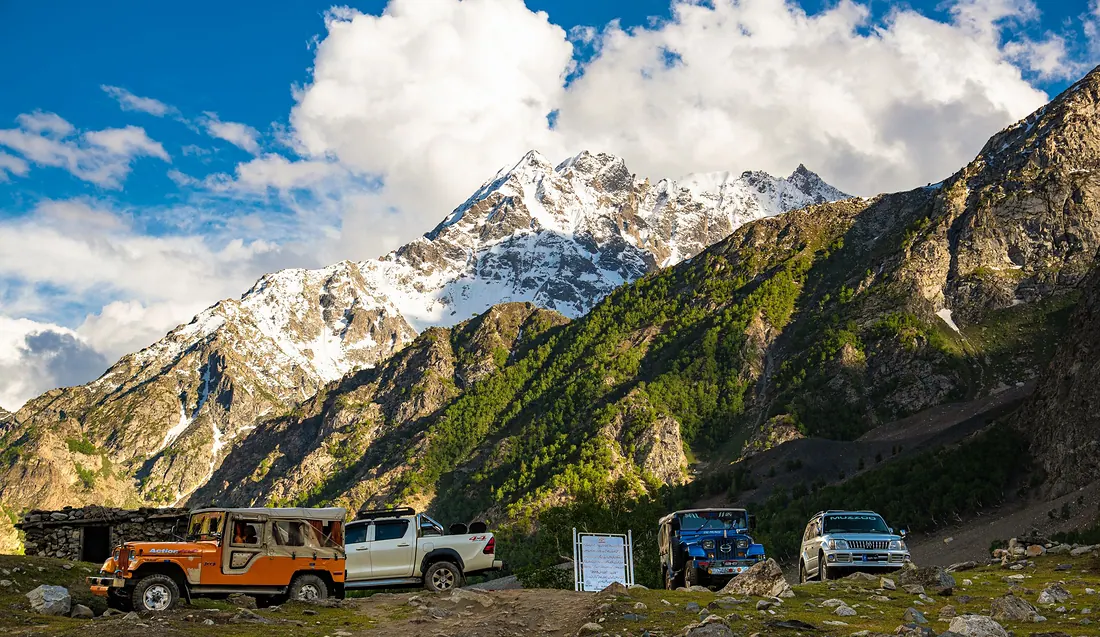
Naltar Valley
A pine valley north of Gilgit with colourful lakes: Satrangi (seven-colour) Lake, Blue Lake and Pari Lake.
Naran & Lake Saif-ul-Malook
The busiest summer resort of the north, and the base for Lake Saif-ul-Malook, Lulusar Lake and Babusar Pass.
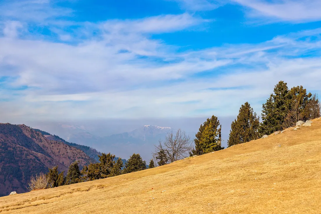
Nathia Gali & Ayubia
The quieter, greener hill stations of the Galiyat ridge between Murree and Abbottabad: oak and pine forest, Mukshpuri and Miranjani peaks and the Pipeline walking track.
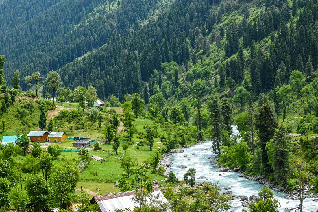
Neelum Valley
A 200 km valley along the Neelum River from Muzaffarabad: Keran, Sharda, Kel, Arang Kel and Taobat, with Ratti Gali Lake high above Dowarian.
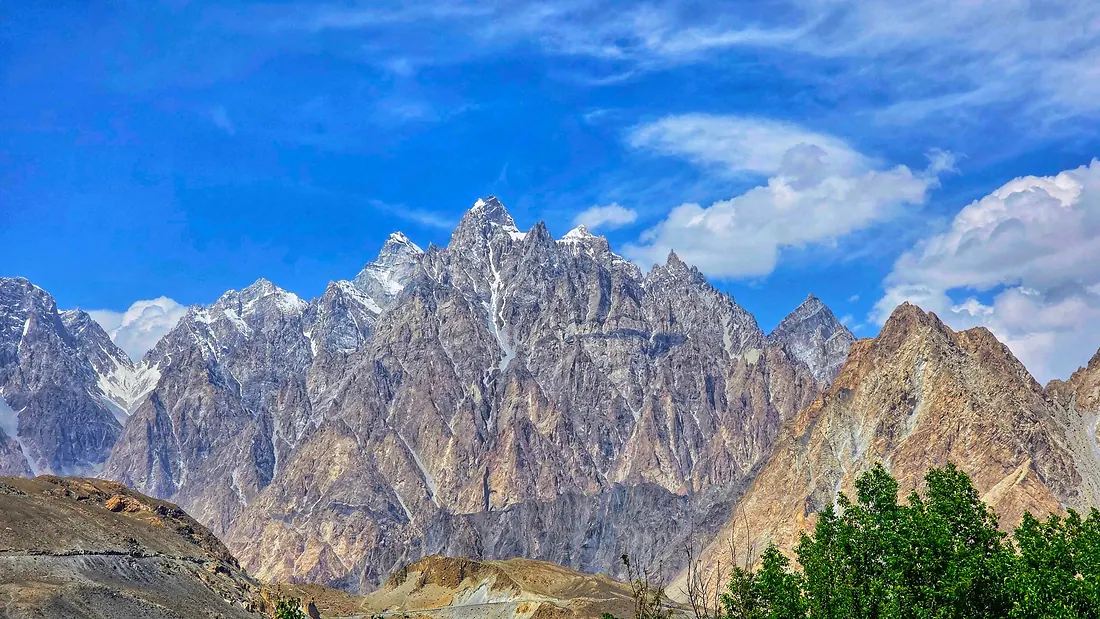
Passu & Khunjerab Pass
Upper Hunza (Gojal): the sharp Passu Cones, Hussaini suspension bridge, Passu glacier, and Khunjerab Pass at about 4,690 m on the China border, one of the highest paved border crossings in the world.
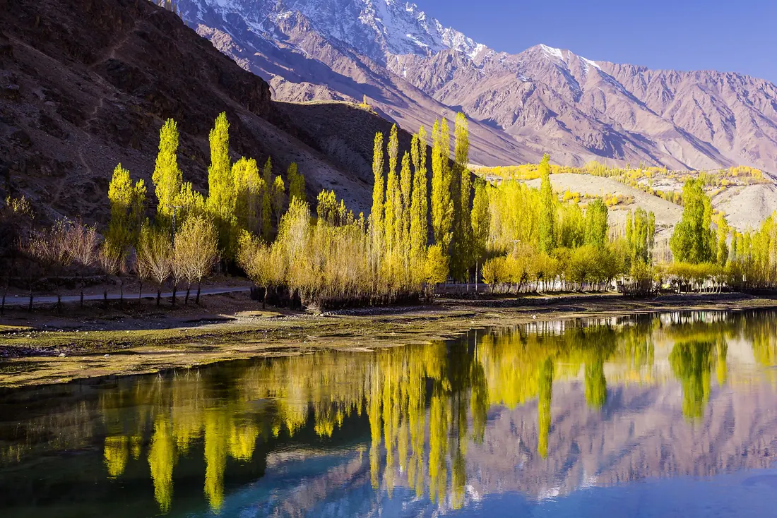
Phander & Ghizer
The western valleys of Gilgit-Baltistan: Phander Lake, trout streams and willow trees that turn gold in October, on the road towards Shandur.
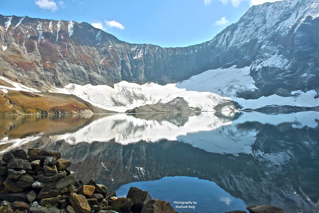
Ratti Gali Lake
A glacial lake surrounded by flower meadows and snow peaks above Dowarian in Neelum.
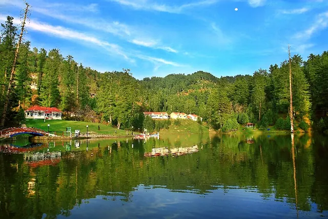
Rawalakot & Banjosa
Main town of Poonch district in green pine hills, with Banjosa Lake and Toli Pir close by.
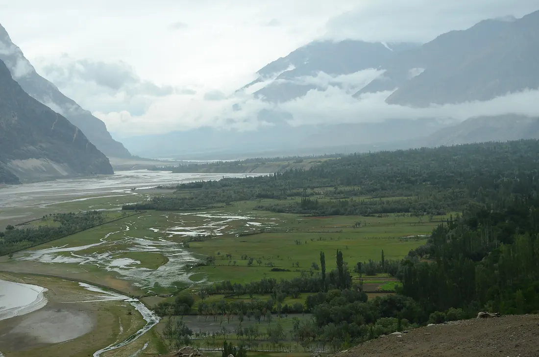
Shigar Valley
Green valley north of Skardu on the road to K2, with the restored Shigar Fort, the Sarfaranga cold desert and old wooden mosques.
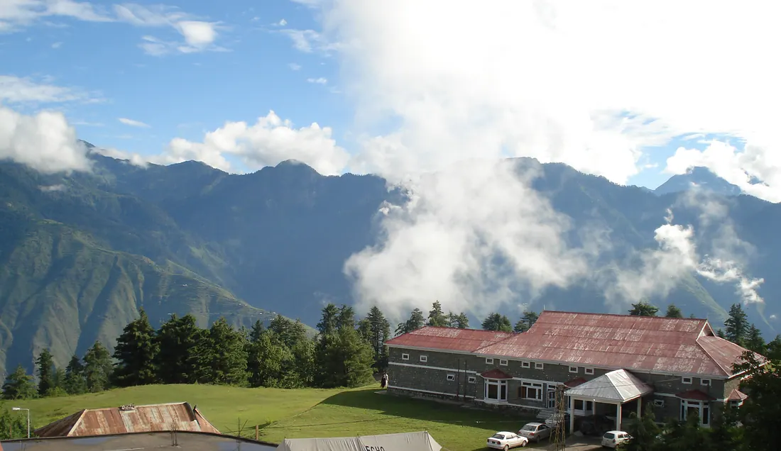
Shogran & Siri Paye
A forested plateau above Kiwai with views of Malika Parbat, and the open meadows of Siri Paye a short jeep ride higher.
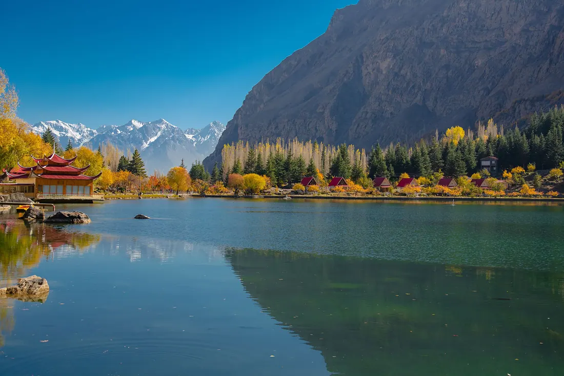
Skardu
Capital of Baltistan on the Indus: cold desert, blue lakes and the gateway to K2 and the Baltoro glacier.
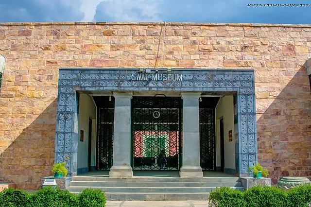
Swat Museum
A small, excellent museum on the Mingora–Saidu road holding Gandhara sculpture from the valley's Buddhist sites: Buddhas, scenes from the Buddha's life, jewellery and coins.
Udegram
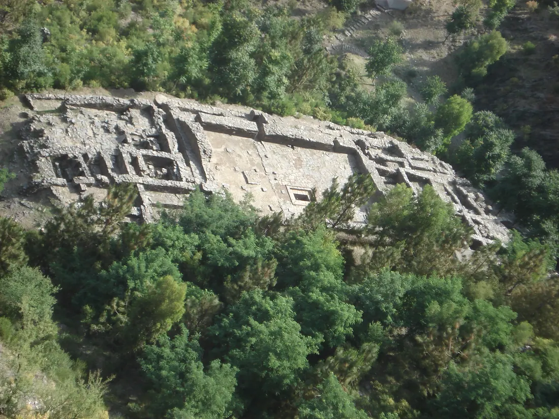
A village south of Mingora with two layers of history on one hillside: the ruins of the fortress of Raja Gira and the Ghaznavid mosque below it.
Ushu Forest & Matiltan
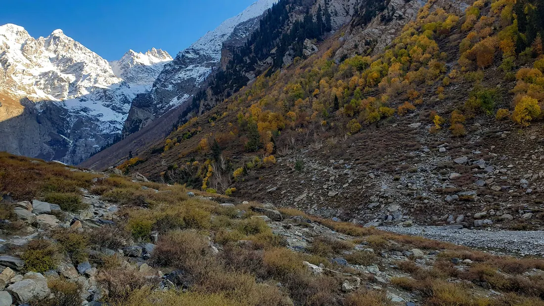
Tall deodar forest just above Kalam leading to Matiltan, where the white wall of Falak Sar (≈ 5,900 m) fills the end of the valley.
Utror & Gabral
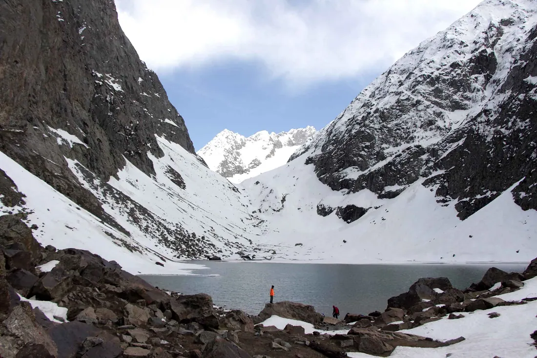
The western branch of upper Swat: quieter than Kalam, with wooden villages, the Utror river and green meadows leading on to Gabral.
Borith Lake & Hussaini
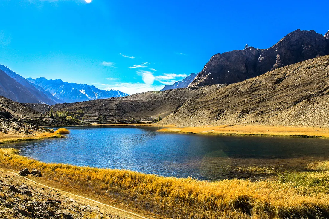
A small brackish lake above Hussaini village in Upper Hunza (Gojal), with views of the Passu Cones and the Batura glacier.
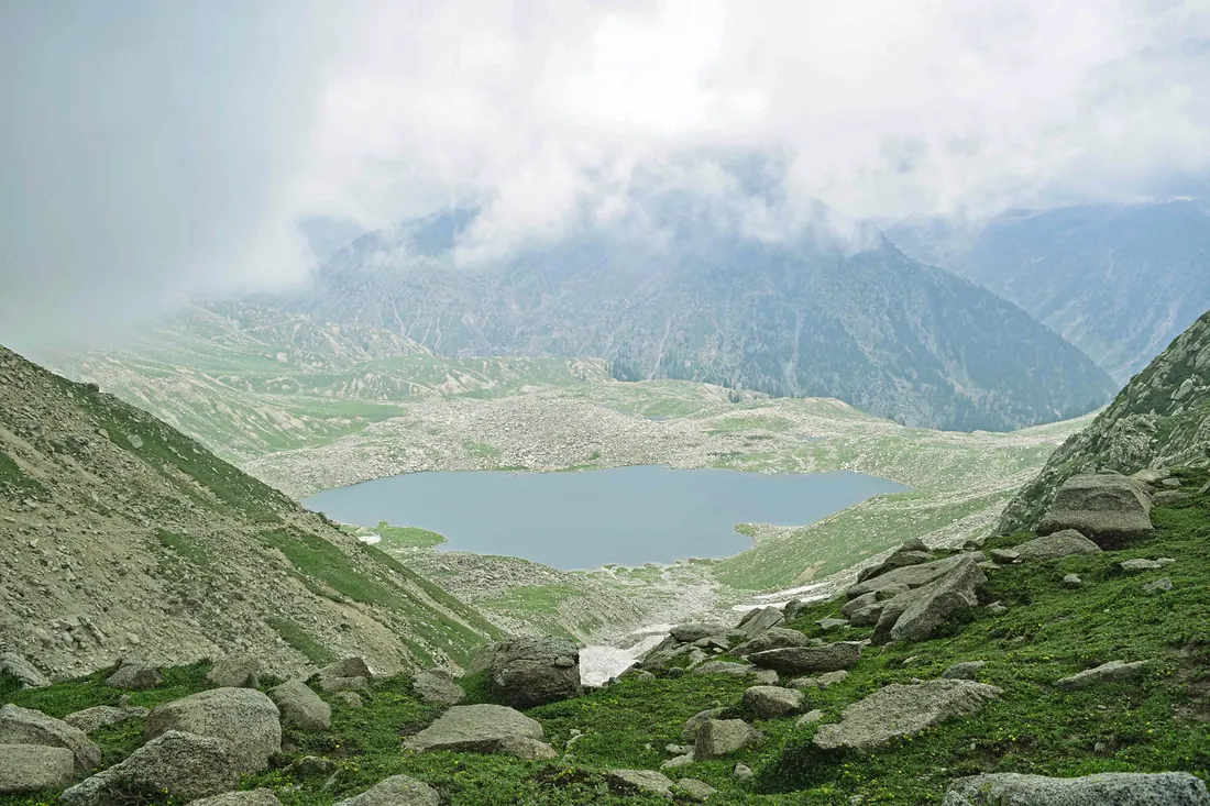
Daral Lake
A remote high lake above Bahrain, reached by a multi-day trek up the Daral stream through forest and herders' huts.
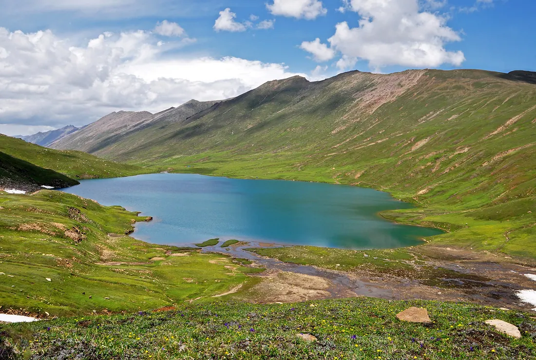
Dudipatsar Lake
A high glacial lake inside Lulusar–Dudipatsar National Park, its name meaning white lake for the snow around it.
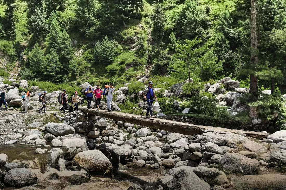
Gabin Jabba
A wide, quiet meadow in the hills above Matta, west of the main valley.
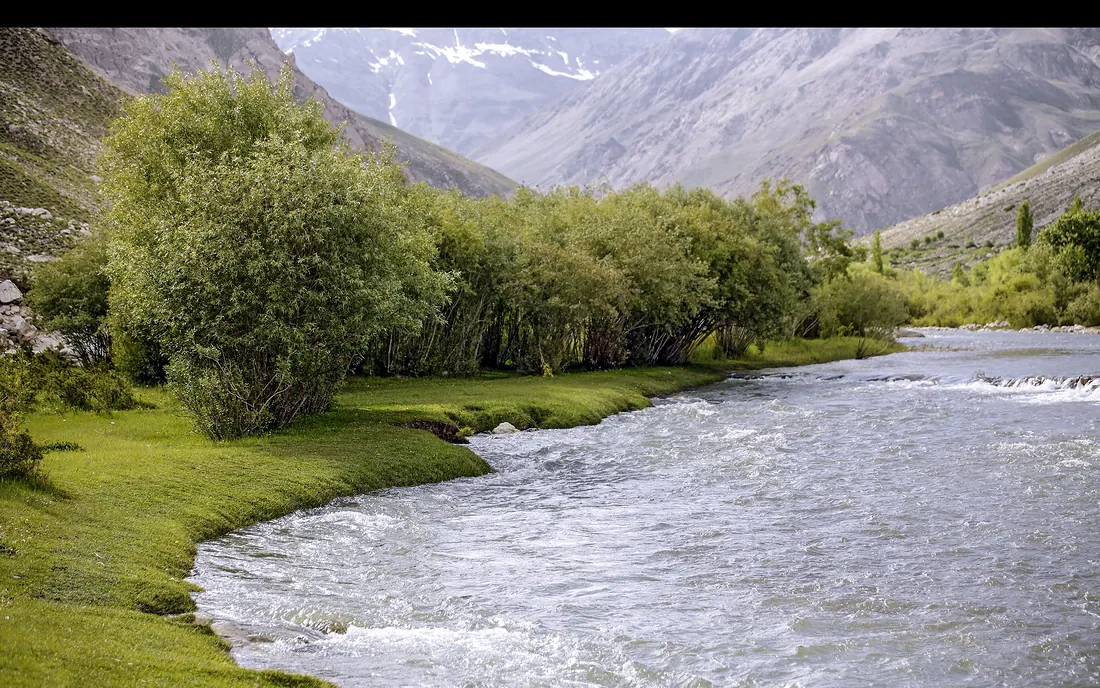
Garam Chashma
A green valley northwest of Chitral town known for its natural hot springs, used for bathing by locals and visitors.
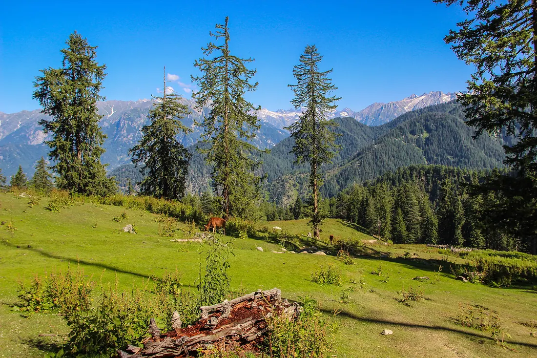
Jahaz Banda
A wide, flat alpine meadow above the Kumrat side of Upper Dir, ringed by pine forest and snow ridges.
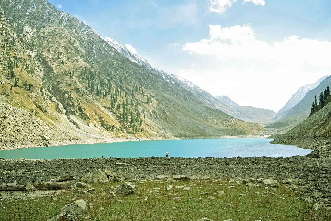
Kandol & Spin Khwar Lakes
Two quiet alpine lakes above Utror.
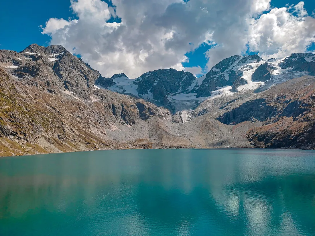
Katora Lake
A bowl-shaped glacial lake (katora means bowl) of icy turquoise water, tucked under snowfields above Jahaz Banda.
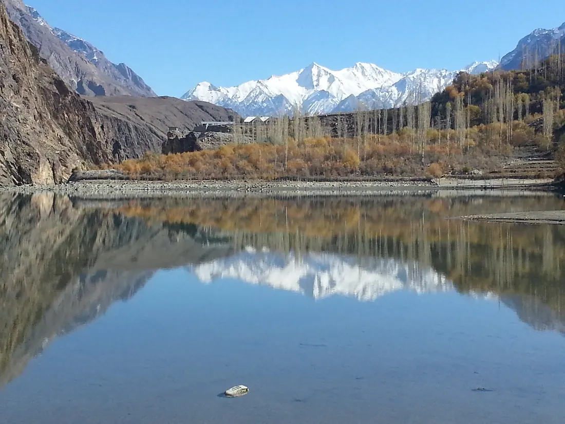
Khalti Lake
A long, calm, deep-blue lake beside the road in Ghizer, famous for trout and for freezing over completely in winter.
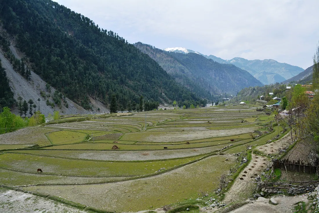
Leepa Valley
A green valley of rice terraces and wooden houses on the eastern side of AJK, especially beautiful in autumn when the walnut and rice fields turn gold.
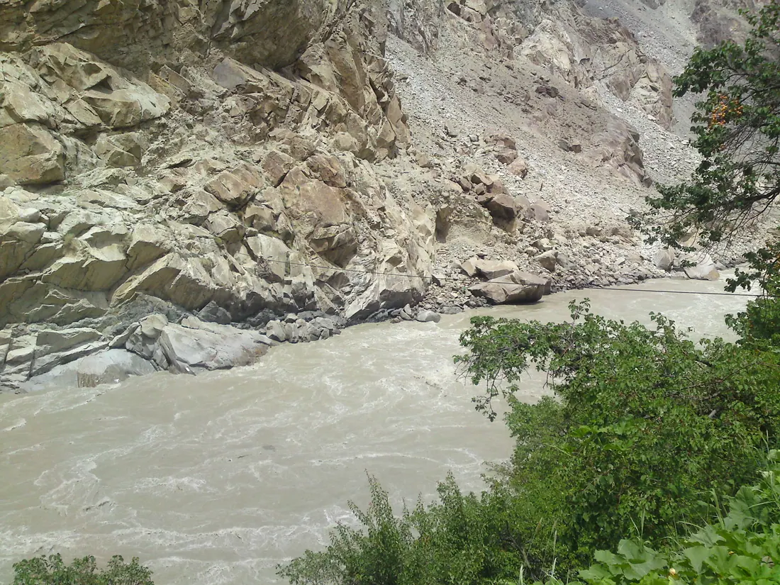
Manthoka Waterfall
A tall waterfall falling through a green gorge in Kharmang district, south-east of Skardu.
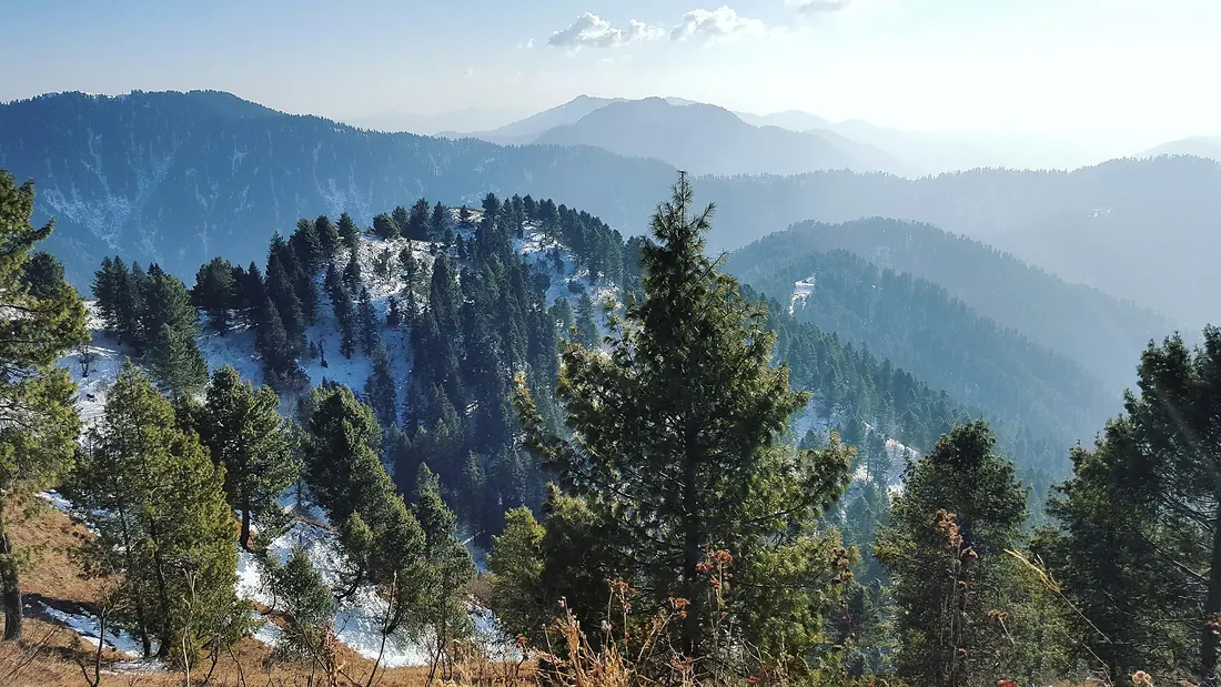
Miranjani Peak
The highest peak of the Galiyat, reached by a forest trail from Nathia Gali.
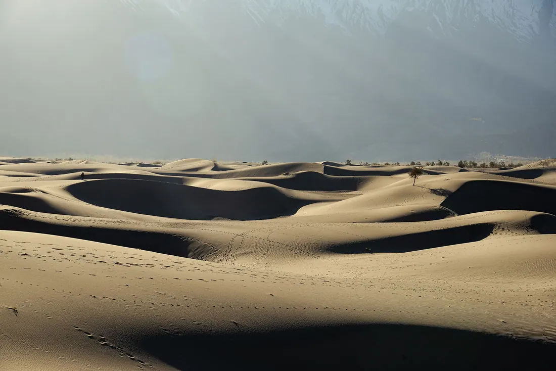
Sarfaranga Cold Desert
White sand dunes at high altitude, framed by snow peaks, in the Shigar–Skardu area.
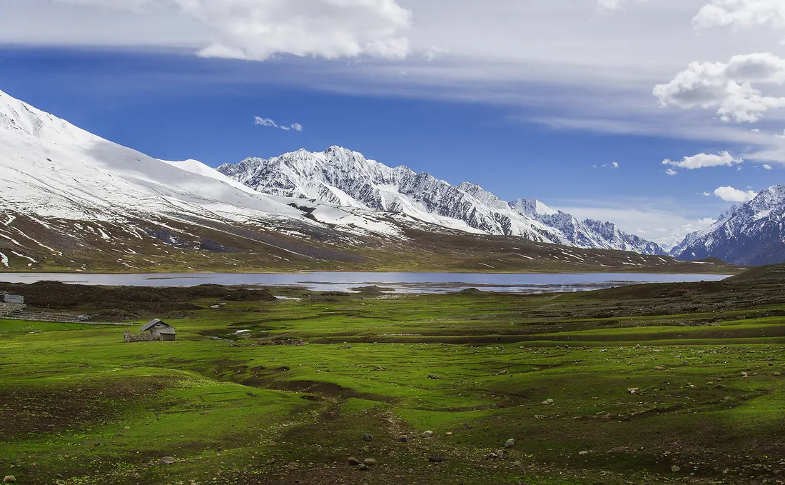
Shandur Pass
A high, open plateau between Chitral and Ghizer with a lake and the famous polo ground often called the roof of the world.
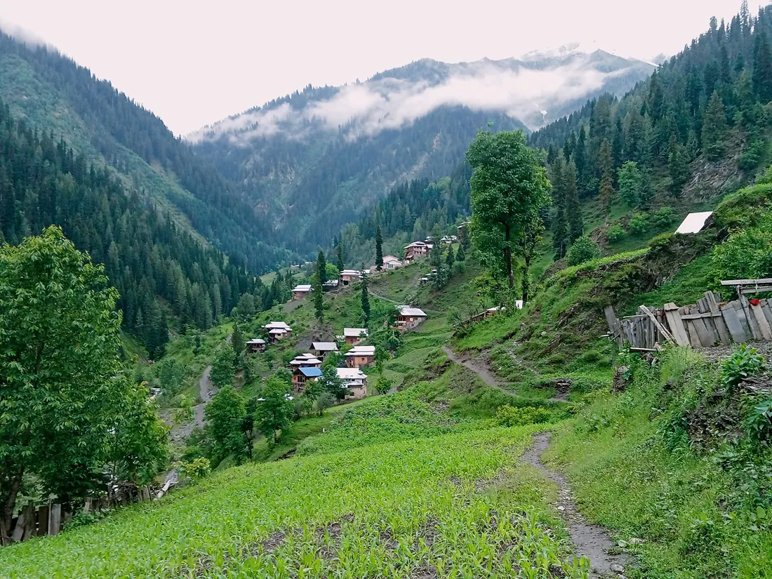
Sharda
A riverside town in the Neelum Valley with the ruins of the ancient Sharda Peeth temple and university on the hillside above.
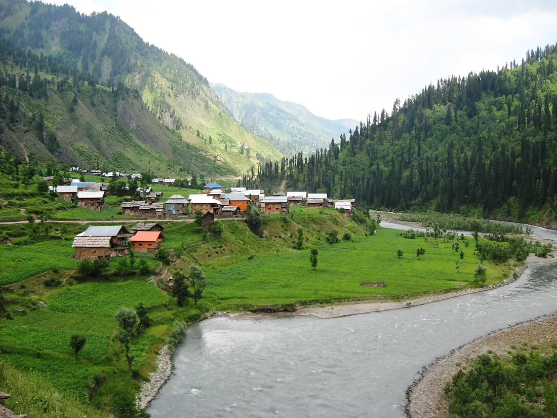
Taobat
The last village at the far end of the Neelum Valley, with wooden houses, meadows and the river running clear and fast.
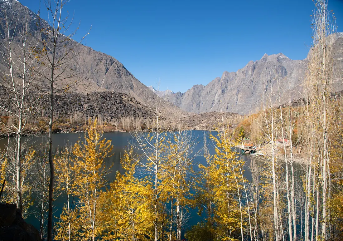
Upper Kachura Lake
A clear, deep-green lake surrounded by apricot trees and steep mountains, a short drive from Skardu.