Azad Kashmir
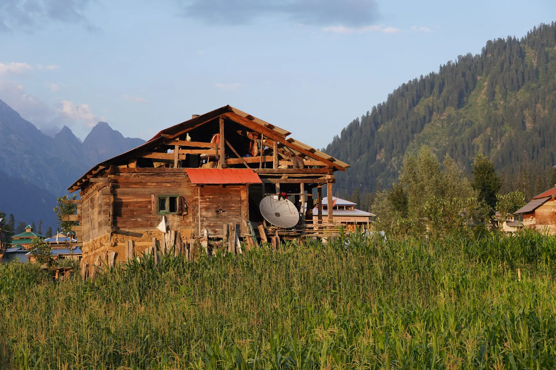
آزاد کشمیرForested hills of Poonch and the long Neelum Valley along the Line of Control: green, quiet and close to Islamabad.
About the region
Azad Jammu & Kashmir runs from the low hills near Mirpur to the high Neelum Valley. Rawalakot and Banjosa are a short drive from Islamabad; Neelum takes a full day.
A short history
The region has been part of the Kashmir story for centuries, from the ancient Sharda learning centre in Neelum to the princely state of Jammu & Kashmir. Azad Kashmir took its present form in 1947.
Azad Kashmir on the map
Places in Azad Kashmir
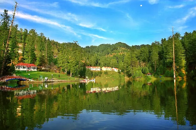
Rawalakot & Banjosa
Main town of Poonch district in green pine hills, with Banjosa Lake and Toli Pir close by.
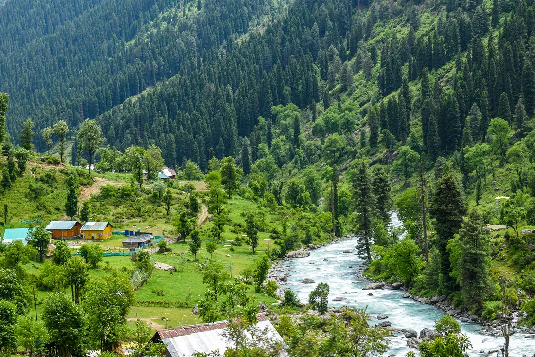
Neelum Valley
A 200 km valley along the Neelum River from Muzaffarabad: Keran, Sharda, Kel, Arang Kel and Taobat, with Ratti Gali Lake high above Dowarian.
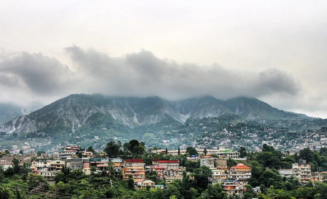
Muzaffarabad & Pir Chinasi
Capital of Azad Kashmir where the Neelum and Jhelum rivers meet.
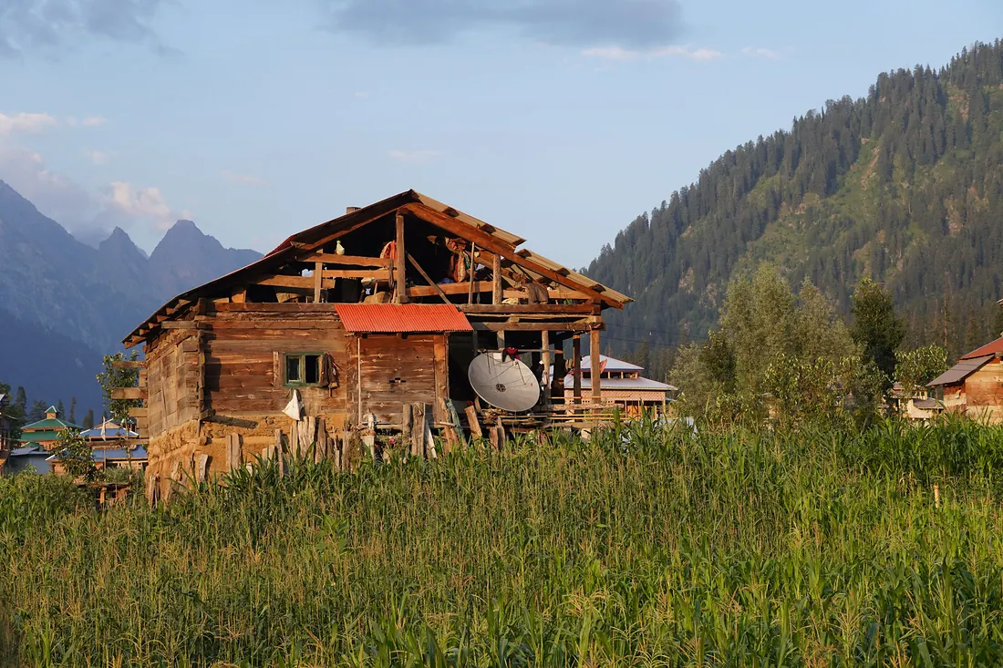
Arang Kel
A storybook village of wooden houses on a high meadow above Kel in upper Neelum, reached by a small cable car across the river and a steep walk.
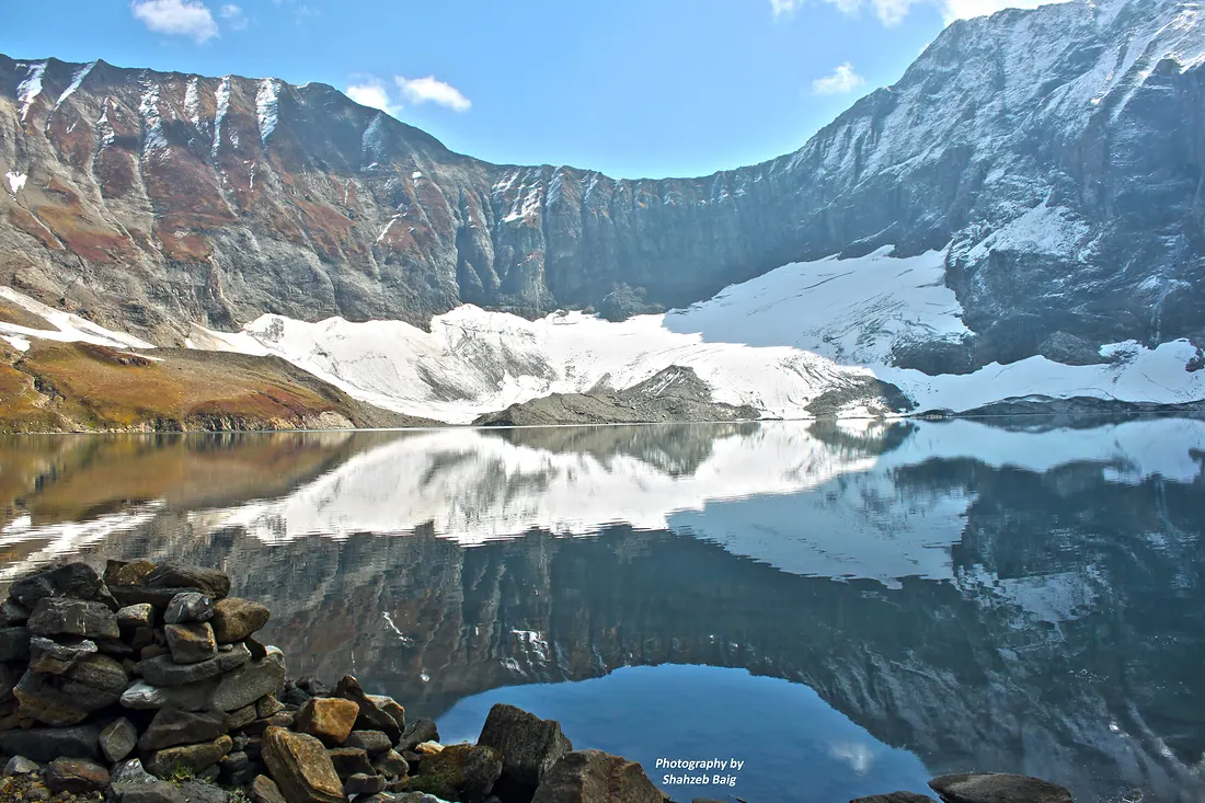
Ratti Gali Lake
A glacial lake surrounded by flower meadows and snow peaks above Dowarian in Neelum.
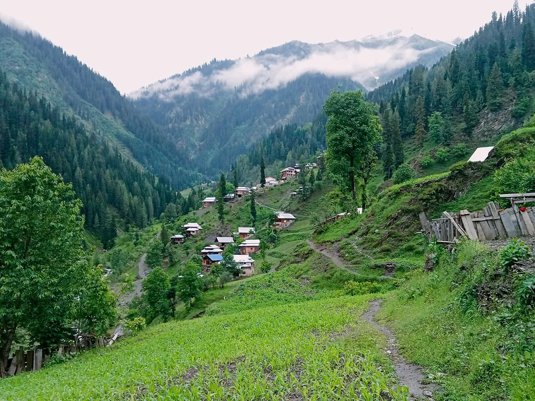
Sharda
A riverside town in the Neelum Valley with the ruins of the ancient Sharda Peeth temple and university on the hillside above.
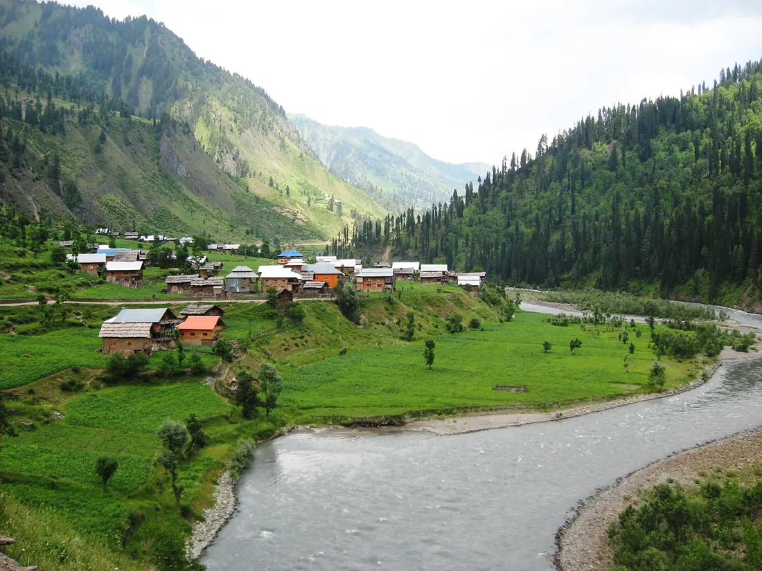
Taobat
The last village at the far end of the Neelum Valley, with wooden houses, meadows and the river running clear and fast.
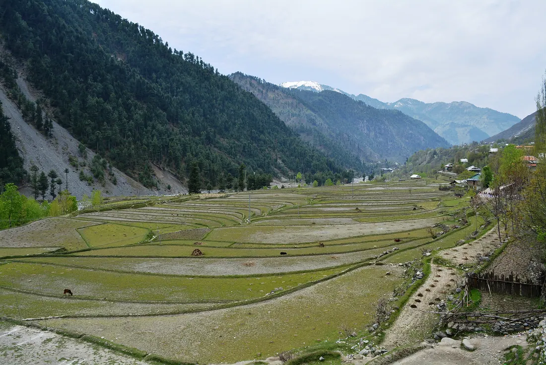
Leepa Valley
A green valley of rice terraces and wooden houses on the eastern side of AJK, especially beautiful in autumn when the walnut and rice fields turn gold.