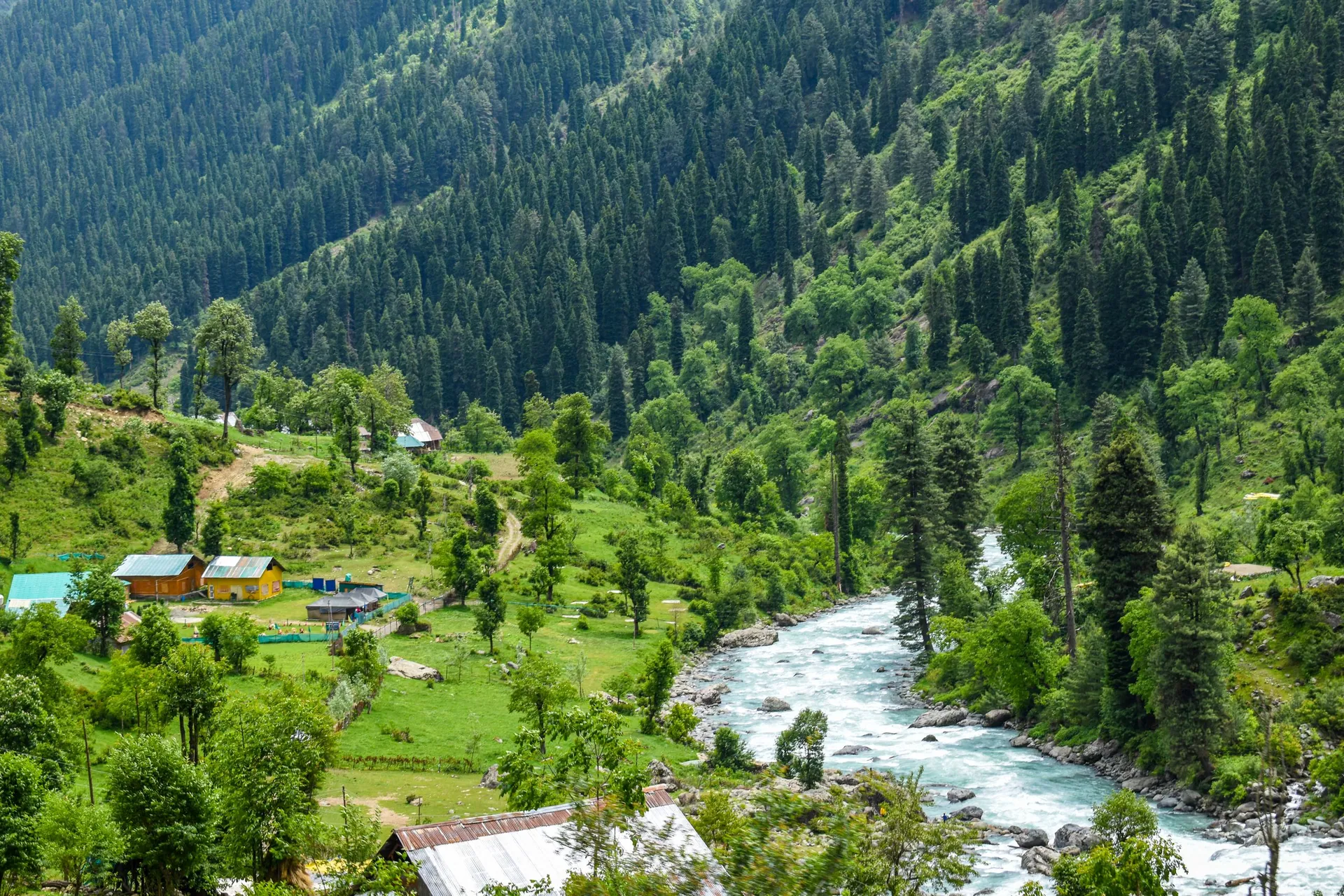
Neelum Valley
وادیٔ نیلمA 200 km valley along the Neelum River from Muzaffarabad: Keran, Sharda, Kel, Arang Kel and Taobat, with Ratti Gali Lake high above Dowarian.
Overview
A 200 km valley along the Neelum River from Muzaffarabad: Keran, Sharda, Kel, Arang Kel and Taobat, with Ratti Gali Lake high above Dowarian.
When to go
Altitude compared
Compared with Islamabad and the nearest places. Above 2,500 m, take it slowly.
Top things to do
- Keran riverside
- Sharda ruins
- Arang Kel village (cable car and hike from Kel)
- Ratti Gali Lake by jeep from Dowarian (summer)
History
Sharda holds the ruins of Sharda Peeth, once a famous centre of learning that gave its name to the old Sharda script. Parts of the valley road run beside the Line of Control.
Getting there
Islamabad → Muzaffarabad → Neelum road.
- Islamabad
- Neelum ValleyBy car · 7–9 h
Return fuel for one car about Rs 15,500
From Lahore add about 4.5 h; from Peshawar add about 2.5 h. Coaches run to the main towns (Mingora, Naran, Gilgit, Skardu, Chitral, Muzaffarabad).
| From | Distance | Drive time |
|---|---|---|
| Islamabad | ≈ 270 km | 7–9 to Sharda h |
| Peshawar | ≈ 450 km | 9.5–11.5 to Sharda h |
| Lahore | ≈ 645 km | 11.5–13.5 to Sharda h |
Trip cost
Loading the cost planner…
What to pack
Where to stay & eat
Stay: Hotels and guesthouses in Keran, Sharda and Kel.
Food: Trout and local food.
Good to know
- Respect restrictions near the Line of Control and carry your CNIC.
- Do not photograph security posts.
Traveller reports
Map
Location is approximate. Open in Google Maps
Closest places to Neelum Valley
Straight-line distance; road distance is longer in the mountains.
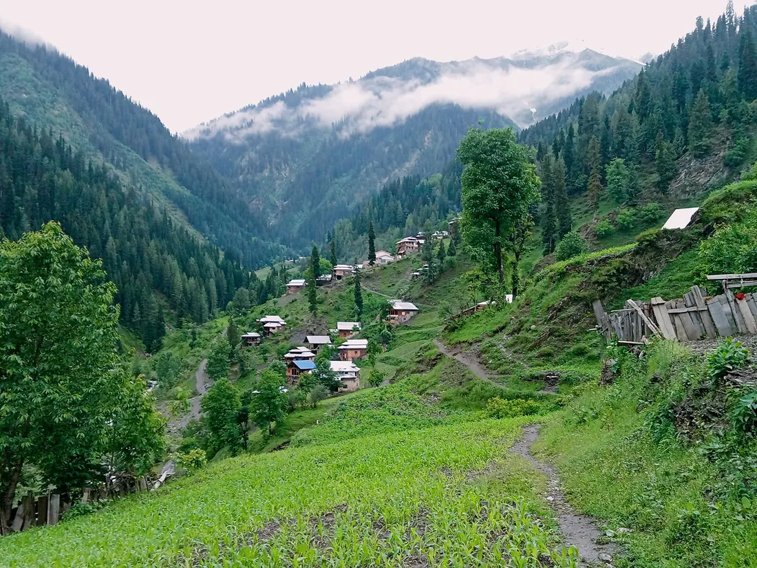
Sharda
A riverside town in the Neelum Valley with the ruins of the ancient Sharda Peeth temple and university on the hillside above.
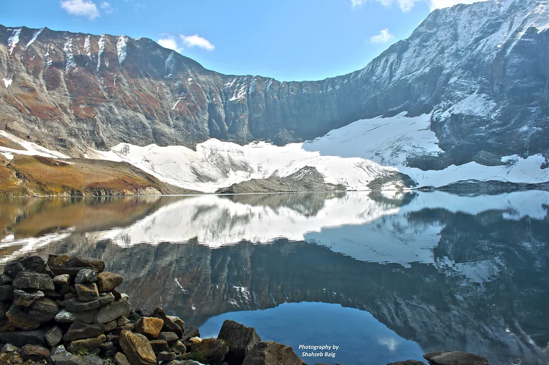
Ratti Gali Lake
A glacial lake surrounded by flower meadows and snow peaks above Dowarian in Neelum.
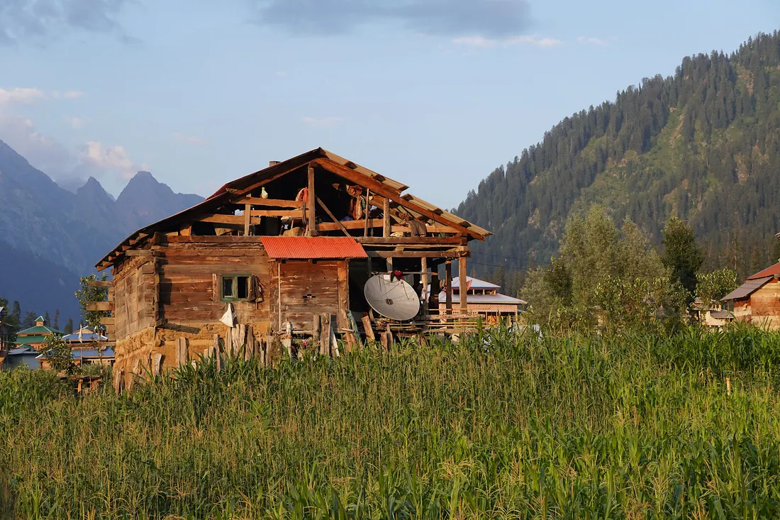
Arang Kel
A storybook village of wooden houses on a high meadow above Kel in upper Neelum, reached by a small cable car across the river and a steep walk.
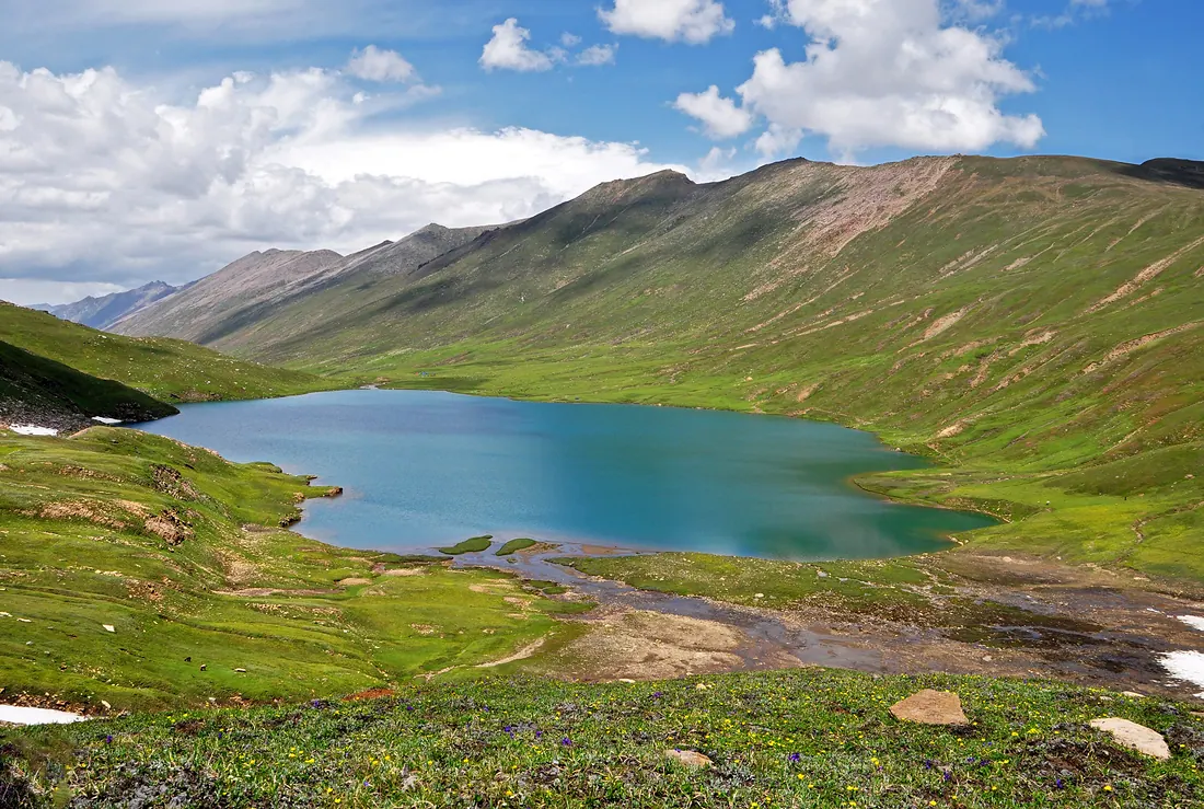
Dudipatsar Lake
A high glacial lake inside Lulusar–Dudipatsar National Park, its name meaning white lake for the snow around it.