Region
Dir & Kumrat
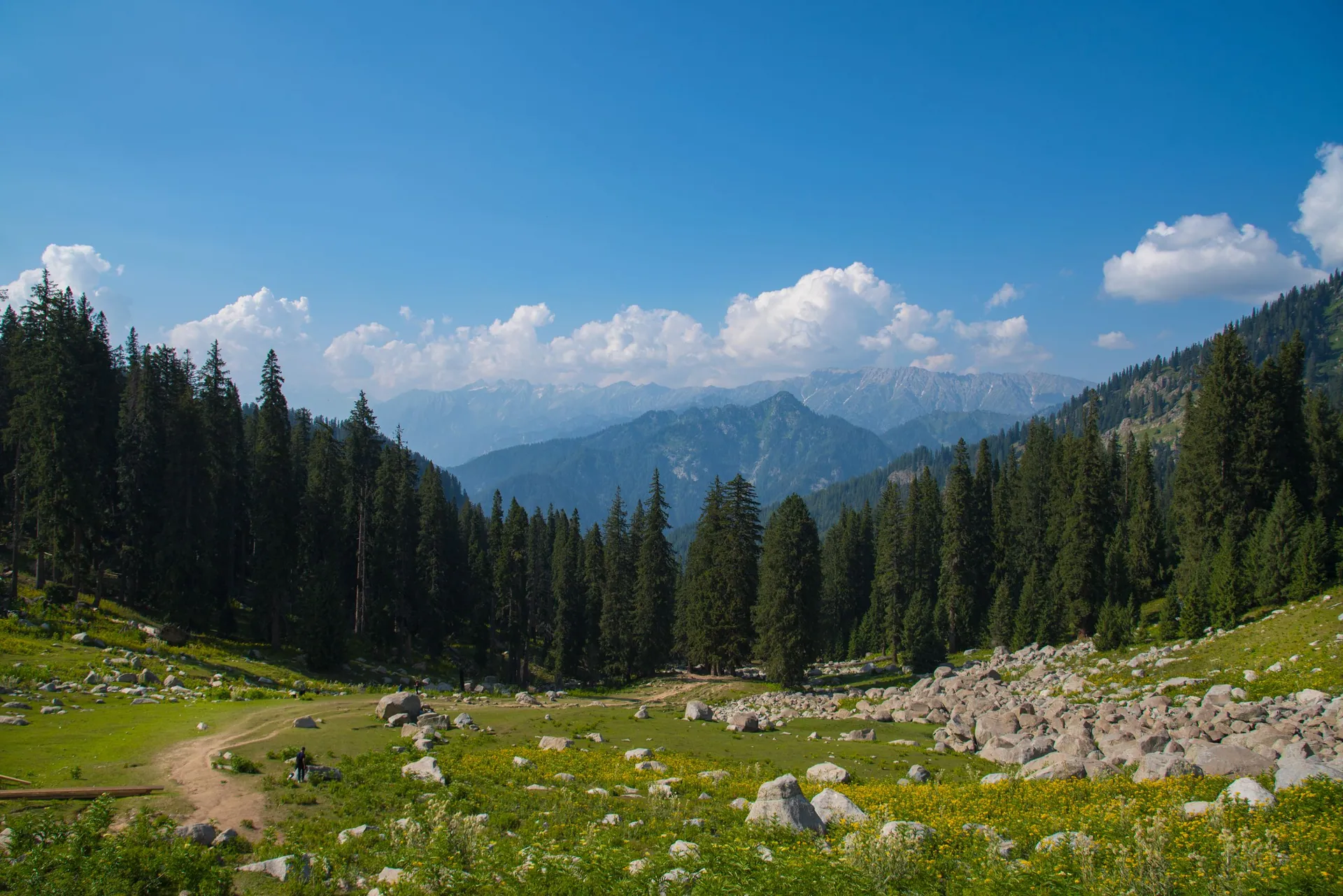
دیر و کمراٹForested valleys of Upper Dir along the Panjkora River, led by Kumrat, one of the north's favourite camping valleys.
About the region
Upper Dir lies west of Swat. The road from Chakdara climbs through Dir town towards the Lowari Tunnel and Chitral, with the Kumrat turn-off at Thall.
A short history
Dir was a princely state ruled by its Nawabs until 1969. The Kohistani villages of the upper valleys are known for their carved wooden mosques.
Map
Dir & Kumrat on the map
FamousHidden
3 destinations
Places in Dir & Kumrat
Dir & Kumrat
Kumrat Valley
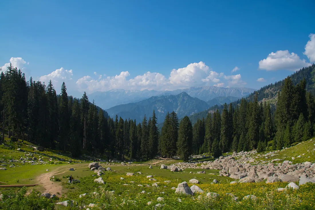
A deep valley of giant deodar trees, meadows and the Panjkora River in Upper Dir.
Dir & Kumrat
Jahaz Banda
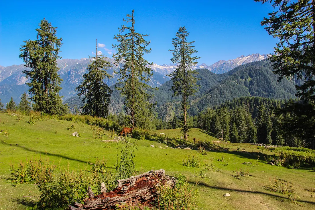
A wide, flat alpine meadow above the Kumrat side of Upper Dir, ringed by pine forest and snow ridges.
Dir & Kumrat
Katora Lake
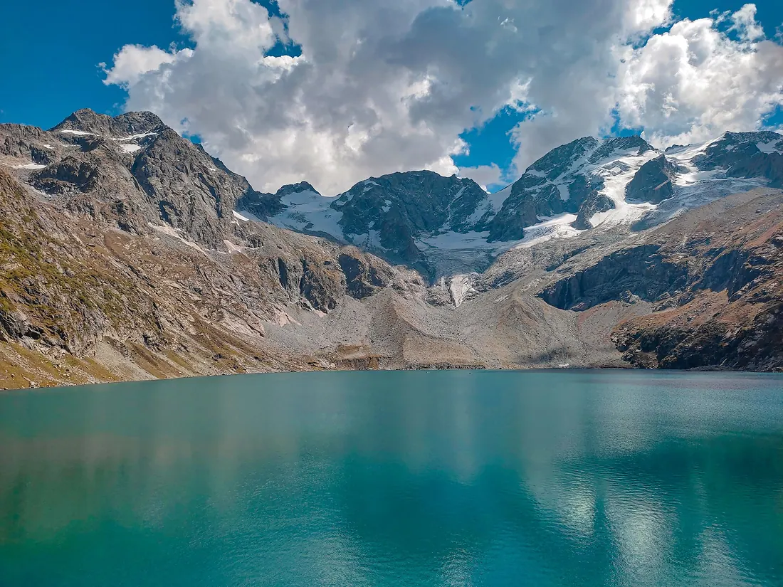
A bowl-shaped glacial lake (katora means bowl) of icy turquoise water, tucked under snowfields above Jahaz Banda.