 Moderate
Arang Kel
Kel to Arang Kel
2 kmLength+350 mElevation gain0.75–1 hTimeOne wayRoute
After the cable car across the river, a steep path climbs to the wooden village on its meadow.
Best season: May–Oct · figures are approximate
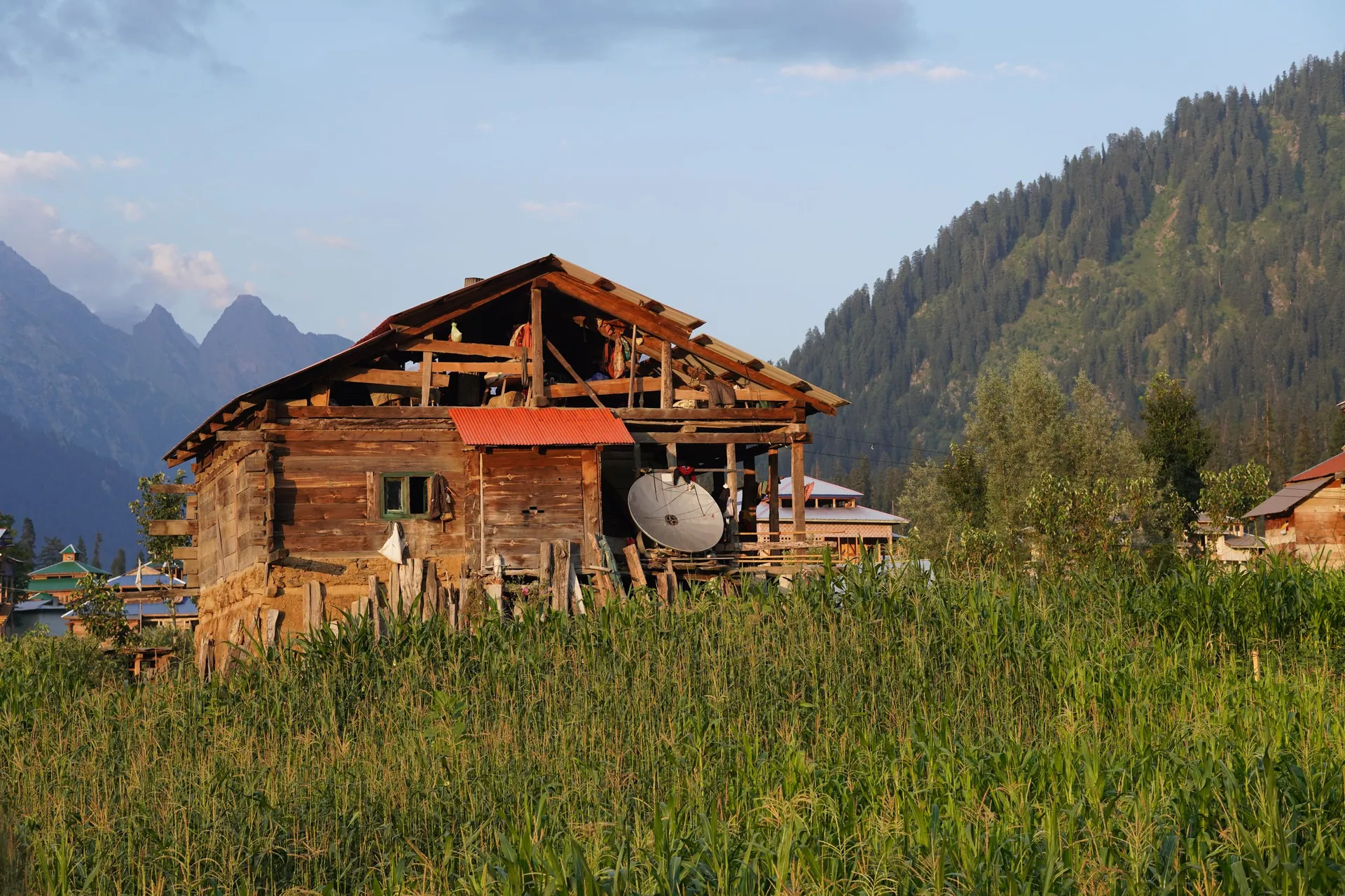
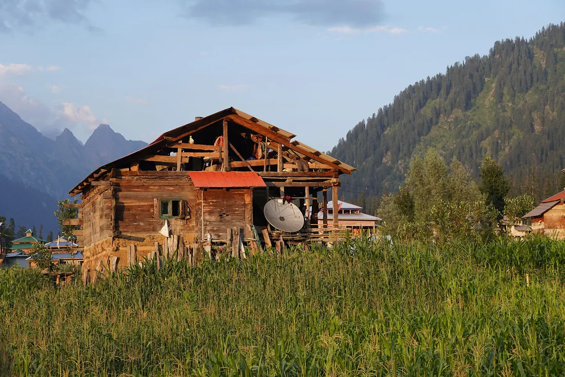
A storybook village of wooden houses on a high meadow above Kel in upper Neelum, reached by a small cable car across the river and a steep walk.
A storybook village of wooden houses on a high meadow above Kel in upper Neelum, reached by a small cable car across the river and a steep walk.
Compared with Islamabad and the nearest places. Above 2,500 m, take it slowly.
Arang Kel stayed almost unknown until the 2000s; its isolation kept its wooden village and fields intact.
Muzaffarabad → Neelum road → Kel → cable car.
Return fuel for one car about Rs 17,500
From Lahore add about 4.5 h; from Peshawar add about 2.5 h. Coaches run to the main towns (Mingora, Naran, Gilgit, Skardu, Chitral, Muzaffarabad).
| From | Distance | Drive time |
|---|---|---|
| Islamabad | ≈ 300 km | 9–10 h |
| Peshawar | ≈ 480 km | 11.5–12.5 h |
| Lahore | ≈ 675 km | 13.5–14.5 h |
Loading the cost planner…
Stay: Guesthouses in Arang Kel and Kel.
Food: Simple local food.
Moderate
After the cable car across the river, a steep path climbs to the wooden village on its meadow.
Best season: May–Oct · figures are approximate
Location is approximate. Open in Google Maps
Straight-line distance; road distance is longer in the mountains.
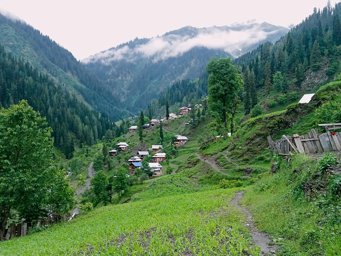
A riverside town in the Neelum Valley with the ruins of the ancient Sharda Peeth temple and university on the hillside above.
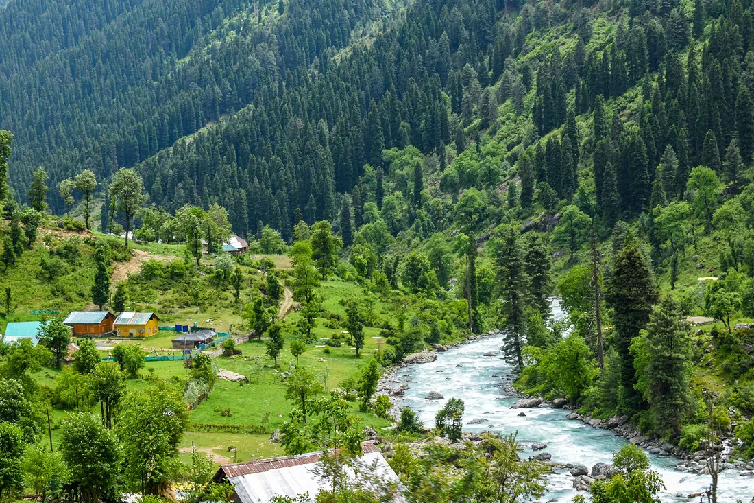
A 200 km valley along the Neelum River from Muzaffarabad: Keran, Sharda, Kel, Arang Kel and Taobat, with Ratti Gali Lake high above Dowarian.
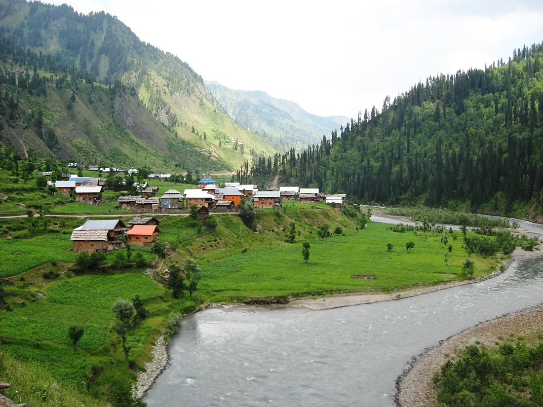
The last village at the far end of the Neelum Valley, with wooden houses, meadows and the river running clear and fast.
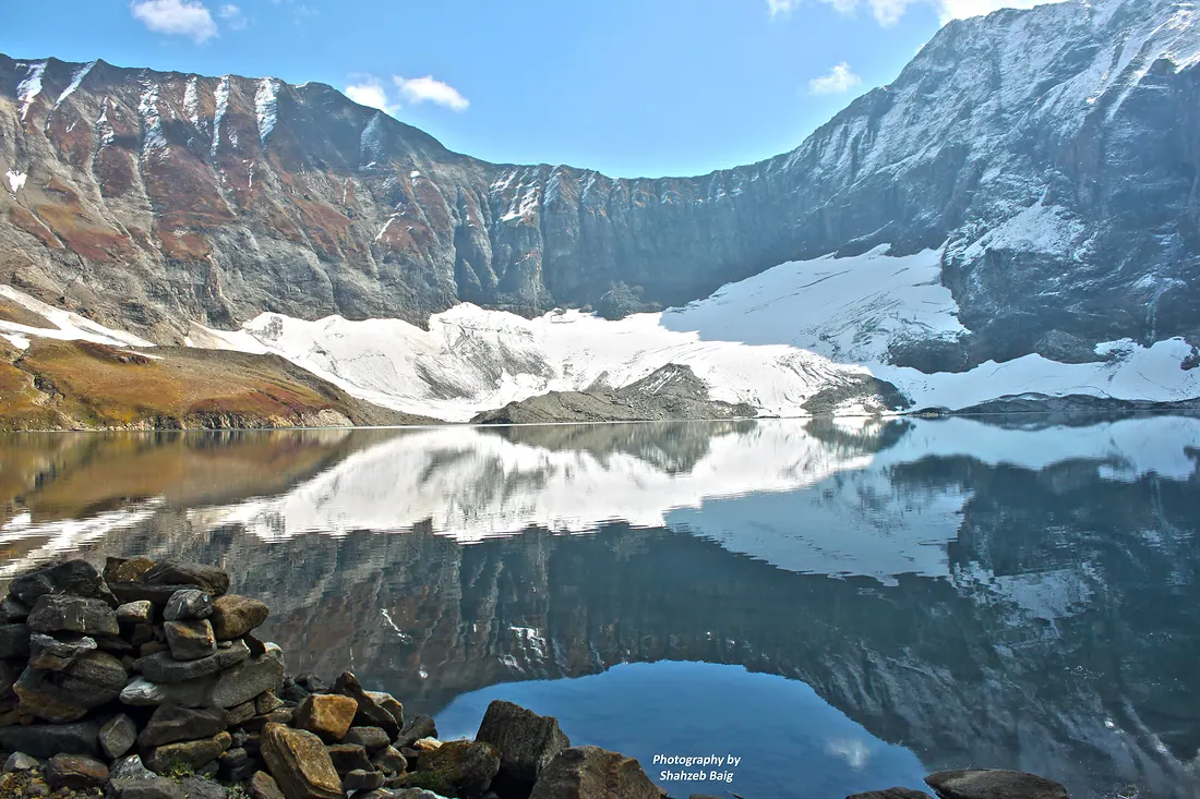
A glacial lake surrounded by flower meadows and snow peaks above Dowarian in Neelum.