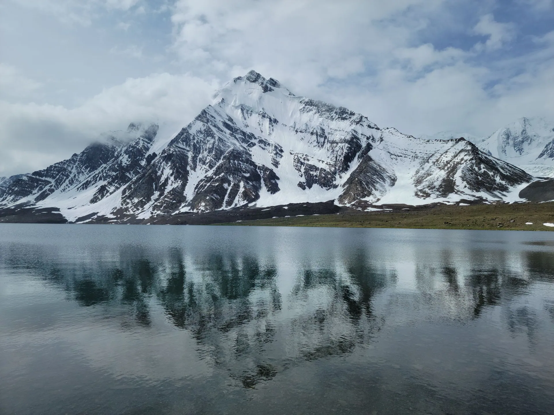
Chitral
چترالRemote valley under Tirich Mir, home of the Kalash people and the Shandur polo festival, now reachable all year through the Lowari Tunnel.
About the region
Chitral lies in the far north-west of Khyber Pakhtunkhwa, ringed by the Hindu Kush. Tirich Mir, the highest peak of the range, rises above Chitral town.
A short history
For centuries Chitral was a princely state ruled by the Mehtars of the Katur dynasty, until it merged with Pakistan in 1969. The Kalash valleys keep one of the oldest living cultures of the region, with their own language, festivals and faith.
Chitral on the map
Places in Chitral
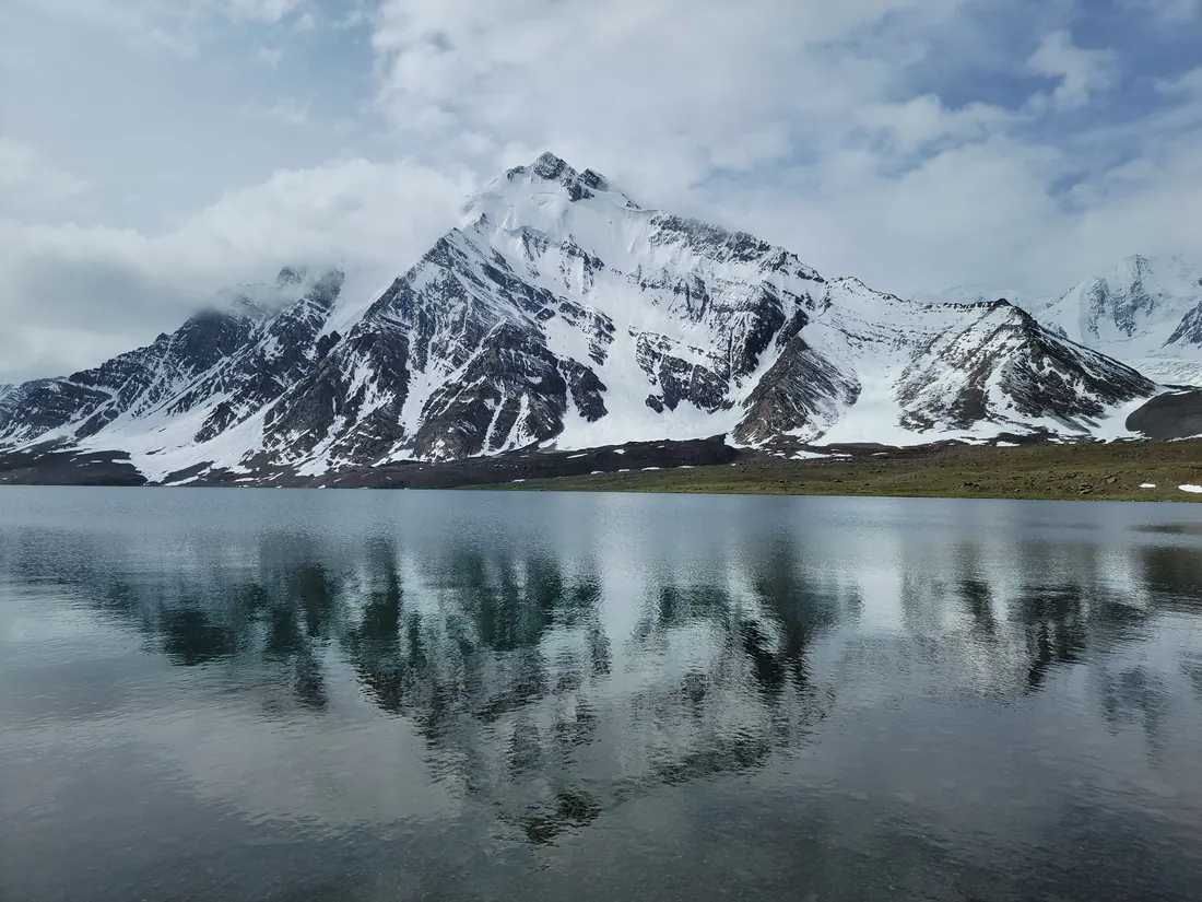
Chitral & Kalash Valleys
A remote town under Tirich Mir (7,708 m), the highest peak of the Hindu Kush, and the gateway to the Kalash valleys of Bumburet, Rumbur and Birir.
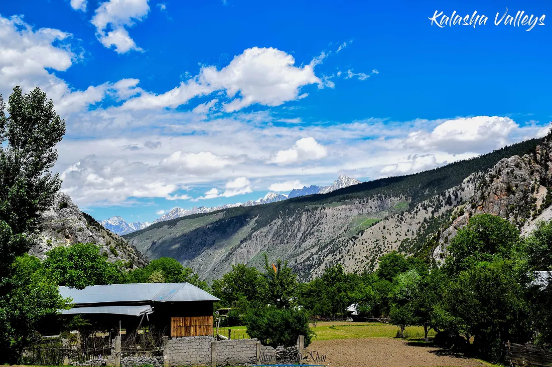
Kalash Valleys
Three valleys near Chitral, Bumburet, Rumbur and Birir, home to the Kalash people, with their own faith, colourful dress, wooden houses and spring, summer and winter festivals.
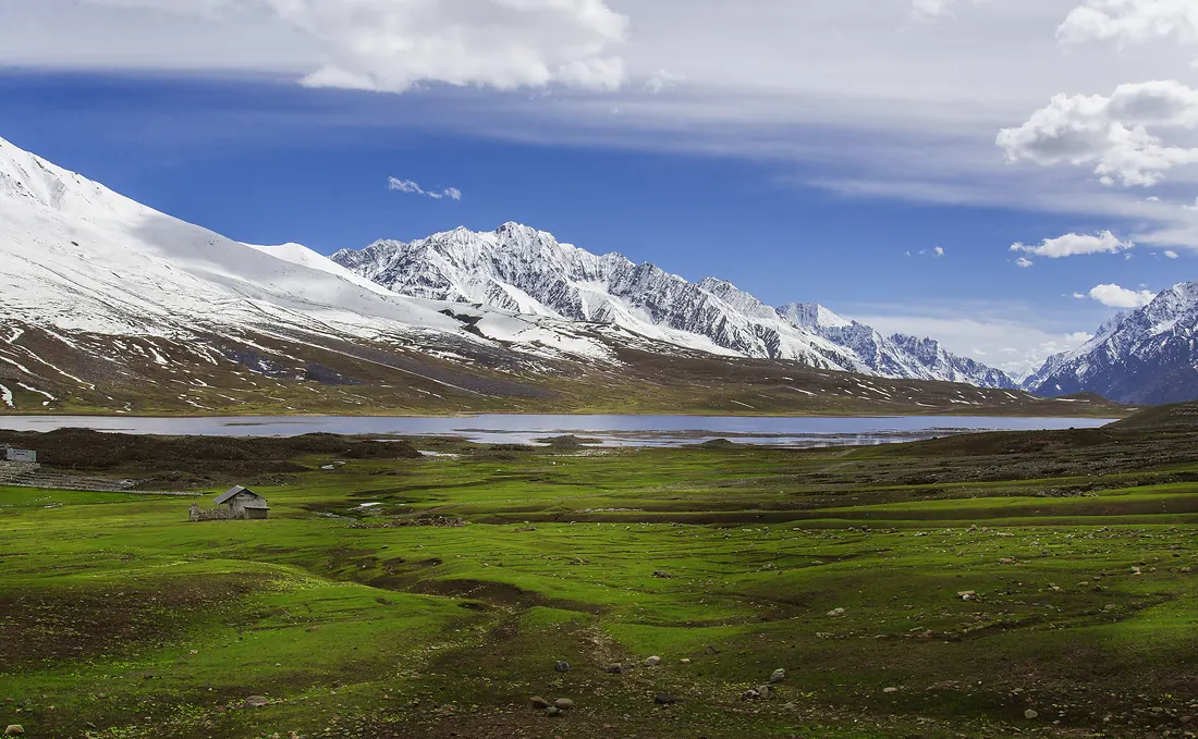
Shandur Pass
A high, open plateau between Chitral and Ghizer with a lake and the famous polo ground often called the roof of the world.
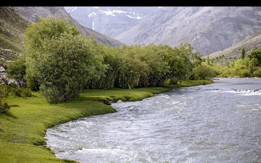
Garam Chashma
A green valley northwest of Chitral town known for its natural hot springs, used for bathing by locals and visitors.