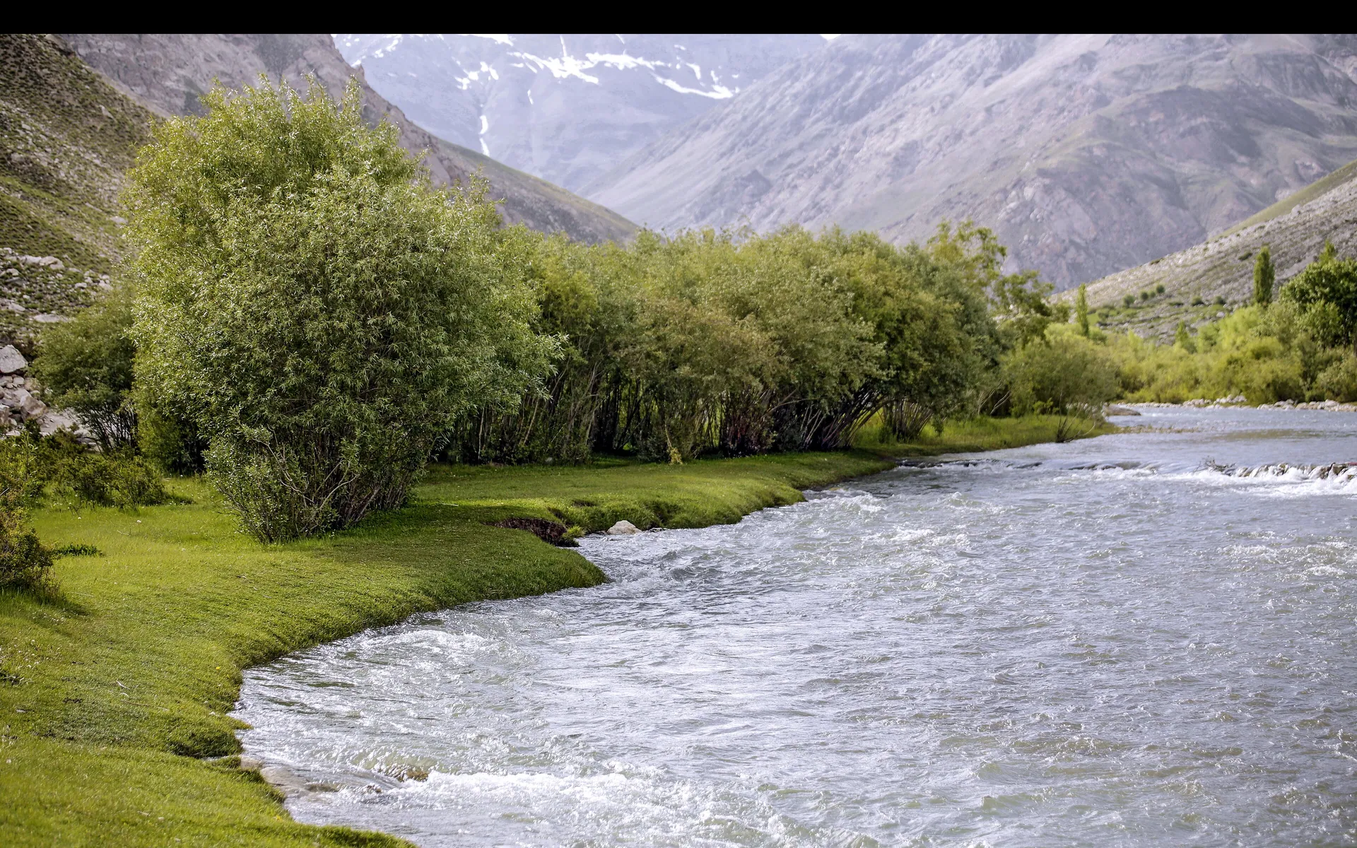
Garam Chashma
گرم چشمہA green valley northwest of Chitral town known for its natural hot springs, used for bathing by locals and visitors.
Overview
A green valley northwest of Chitral town known for its natural hot springs, used for bathing by locals and visitors.
When to go
Altitude compared
Compared with Islamabad and the nearest places. Above 2,500 m, take it slowly.
Top things to do
- Bathe in the hot spring baths
- Fish for trout in the Lutkoh River
- Drive through the orchards of the Lutkoh valley
History
The springs have long been believed to help with joint pain and skin problems, and simple bathhouses grew up around them.
Getting there
Drive about 45 km from Chitral town along the Lutkoh River.
- Islamabad
- Garam ChashmaBy car · 9–11 h
Return fuel for one car about Rs 23,500
From Lahore add about 4.5 h; from Peshawar subtract about 1.5 h. Coaches run to the main towns (Mingora, Naran, Gilgit, Skardu, Chitral, Muzaffarabad).
| From | Distance | Drive time |
|---|---|---|
| Islamabad | ≈ 410 km | 9–11 h |
| Peshawar | ≈ 320 km | 7.5–9.5 h |
| Lahore | ≈ 760 km | 13.5–15.5 h |
Trip cost
Loading the cost planner…
What to pack
Where to stay & eat
Stay: A few small guesthouses; most visitors stay in Chitral town.
Food: Local trout and simple meals.
Good to know
- Separate bathing times for men and women at some baths.
- Good half-day trip from Chitral.
Traveller reports
Map
Location is approximate. Open in Google Maps
Closest places to Garam Chashma
Straight-line distance; road distance is longer in the mountains.
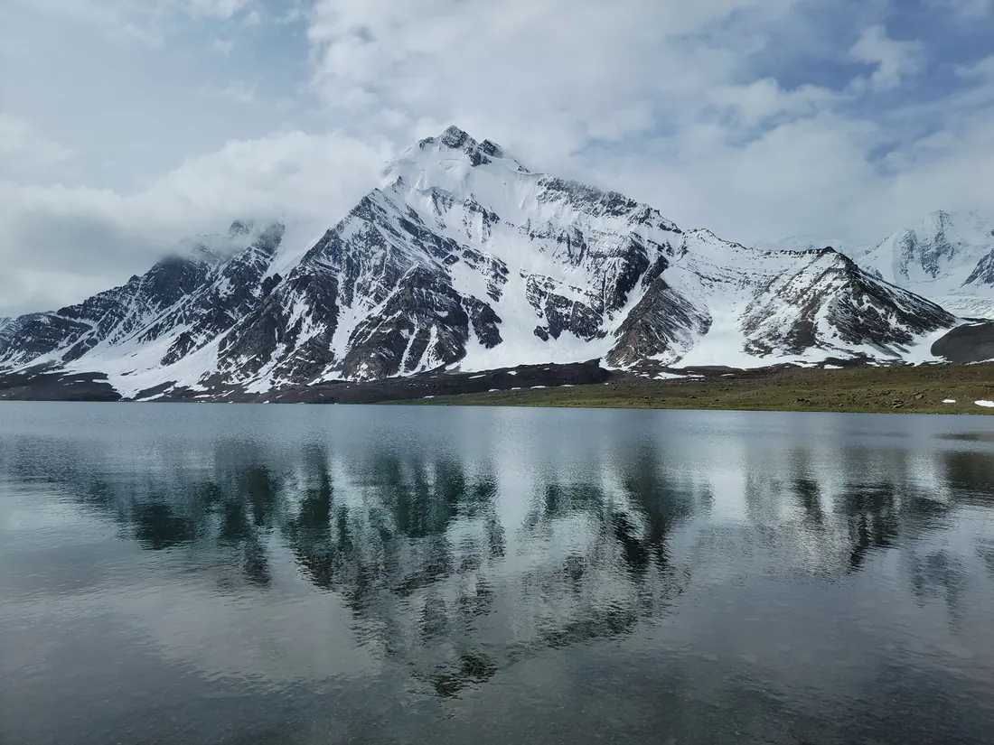
Chitral & Kalash Valleys
A remote town under Tirich Mir (7,708 m), the highest peak of the Hindu Kush, and the gateway to the Kalash valleys of Bumburet, Rumbur and Birir.
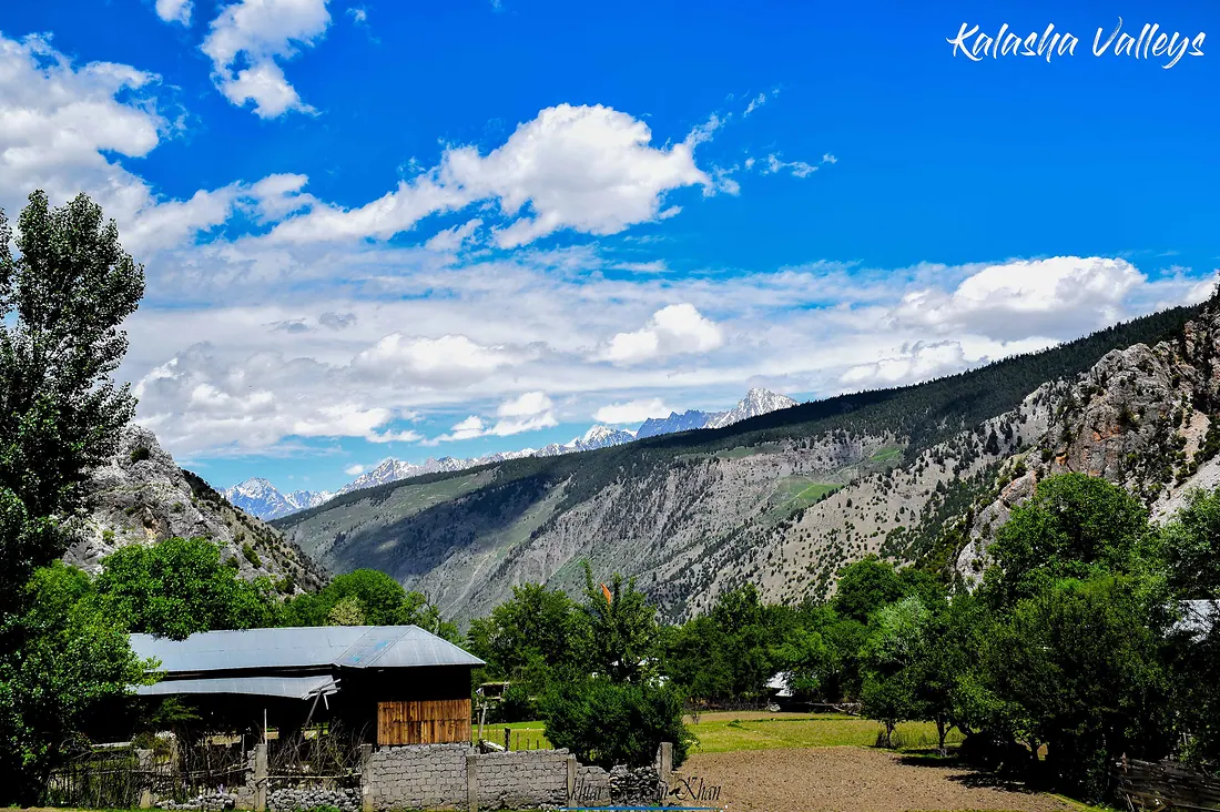
Kalash Valleys
Three valleys near Chitral, Bumburet, Rumbur and Birir, home to the Kalash people, with their own faith, colourful dress, wooden houses and spring, summer and winter festivals.
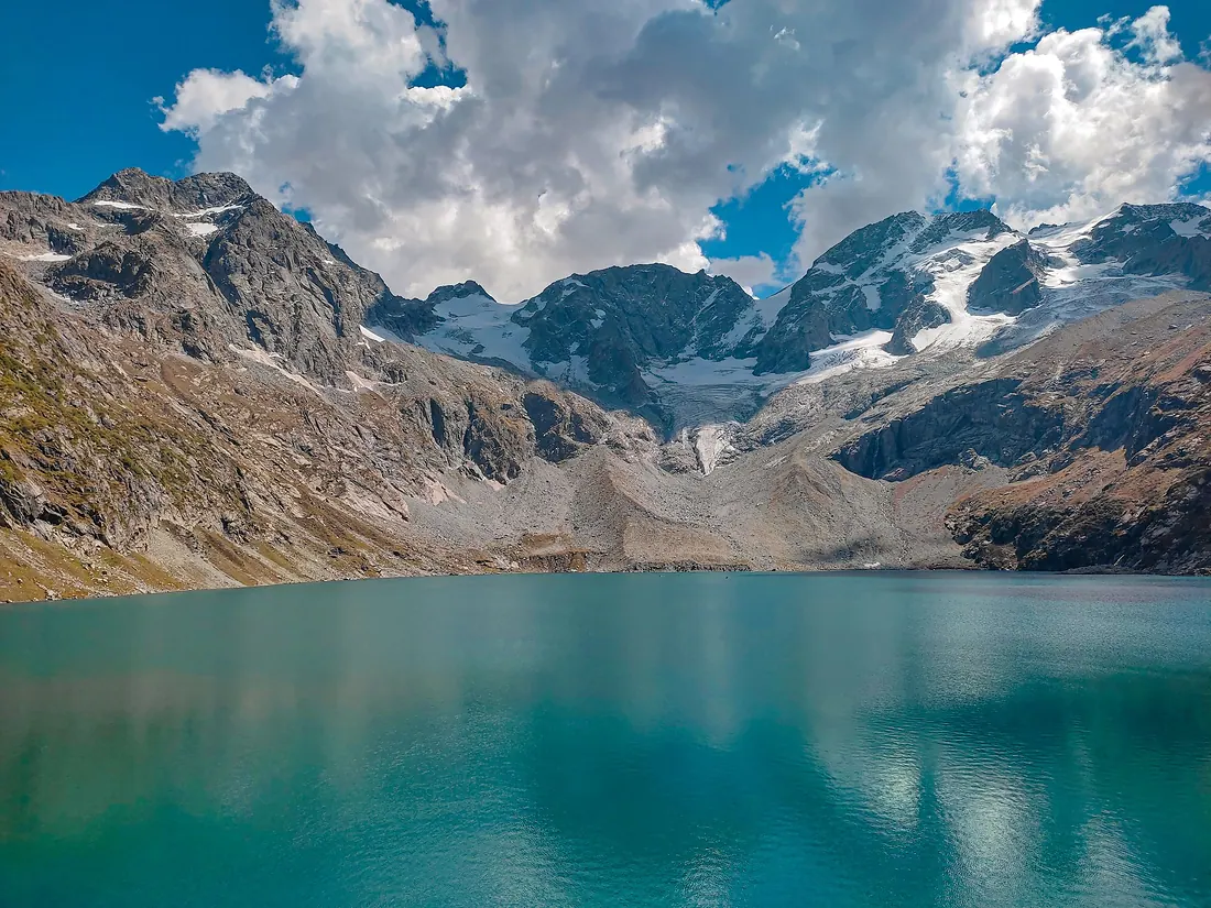
Katora Lake
A bowl-shaped glacial lake (katora means bowl) of icy turquoise water, tucked under snowfields above Jahaz Banda.
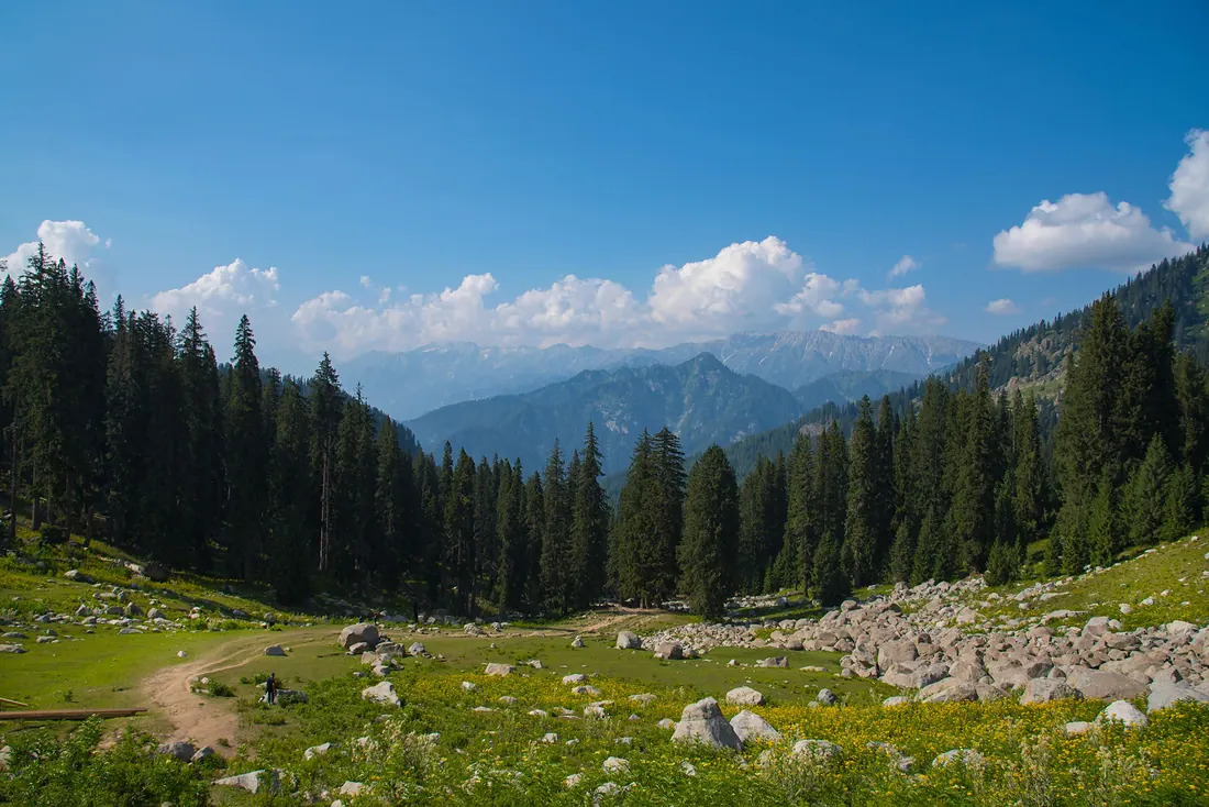
Kumrat Valley
A deep valley of giant deodar trees, meadows and the Panjkora River in Upper Dir.