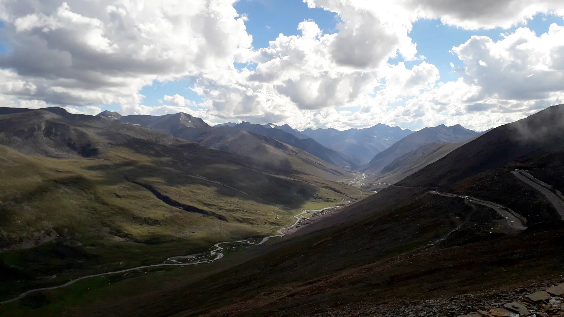
Babusar Top & Lulusar
بابوسر ٹاپ و لولوسرThe highest point of the Kaghan Valley road, a windswept pass between Kaghan and Chilas, with Lulusar Lake on the way up. On clear days Nanga Parbat shows on the horizon.
Overview
The highest point of the Kaghan Valley road, a windswept pass between Kaghan and Chilas, with Lulusar Lake on the way up. On clear days Nanga Parbat shows on the horizon.
When to go
Altitude compared
Compared with Islamabad and the nearest places. Above 2,500 m, take it slowly.
Top things to do
- Lulusar Lake, source of the Kunhar River
- Photo stop at the top
- Continue down to Chilas
History
Babusar has been a route between the Kaghan Valley and the Indus for centuries. The paved road made it a summer shortcut from Islamabad to Gilgit-Baltistan.
Getting there
Naran → Batakundi → Lulusar → Babusar Top.
- Islamabad
- NaranBy car · 6–7 h
- Babusar TopBy car · 2–2.5 h · Summer only
Return fuel for one car about Rs 19,500
From Lahore add about 4.5 h; from Peshawar add about 1.5 h. Coaches run to the main towns (Mingora, Naran, Gilgit, Skardu, Chitral, Muzaffarabad).
| From | Distance | Drive time |
|---|---|---|
| Islamabad | ≈ 340 km | 8 h |
| Peshawar | ≈ 420 km | 9.5 h |
| Lahore | ≈ 715 km | 12.5 h |
Trip cost
Loading the cost planner…
What to pack
Where to stay & eat
Stay: Stay in Naran or Chilas.
Food: Tea stalls at the top in summer.
Good to know
- Altitude above 4,000 m: do not run or stay long if you feel dizzy.
- Snow can close the pass any day outside summer.
Traveller reports
Map
Location is approximate. Open in Google Maps
Closest places to Babusar Top & Lulusar
Straight-line distance; road distance is longer in the mountains.
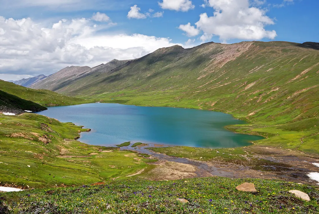
Dudipatsar Lake
A high glacial lake inside Lulusar–Dudipatsar National Park, its name meaning white lake for the snow around it.
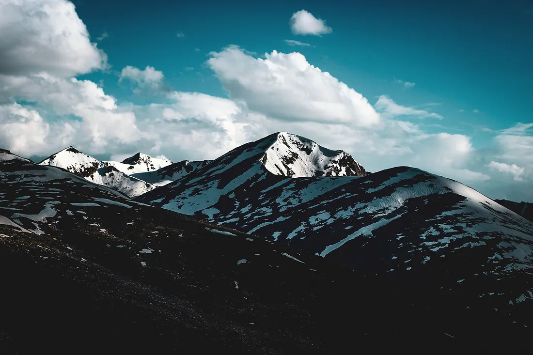
Chilas
A hot, rocky town on the Indus and the Karakoram Highway, where the Babusar road comes down.
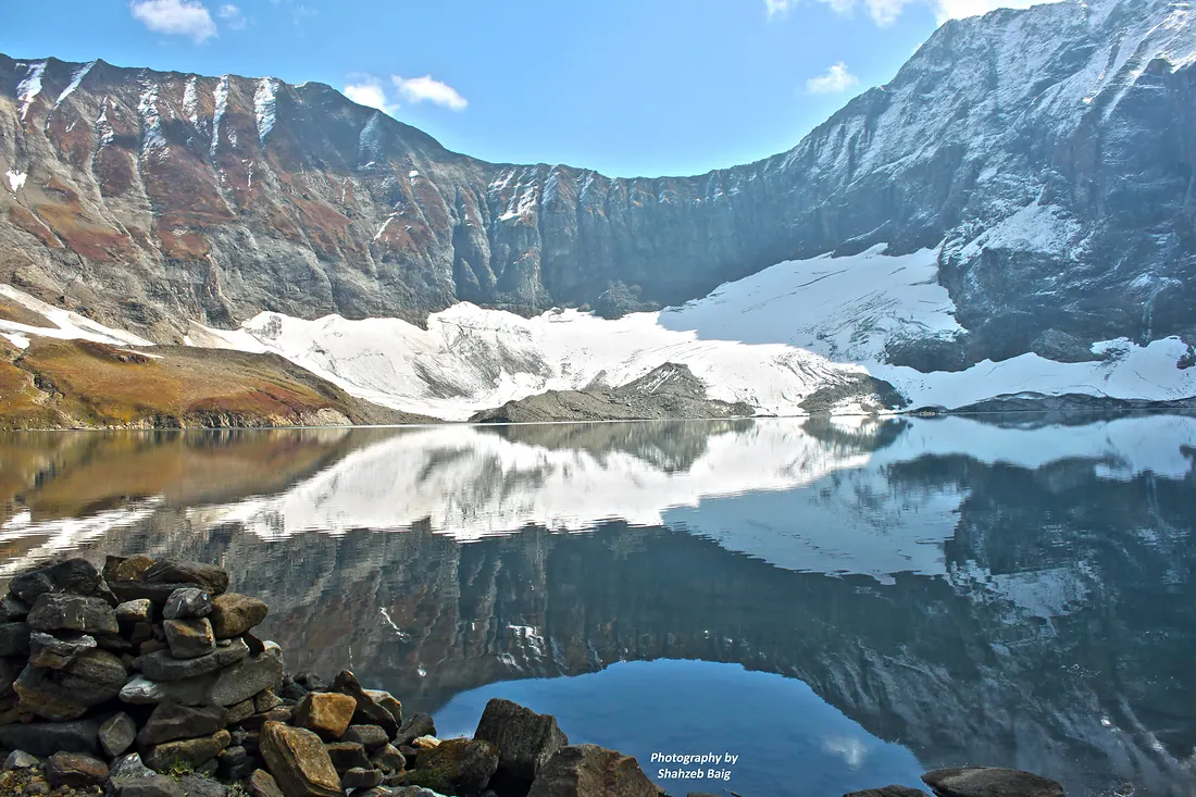
Ratti Gali Lake
A glacial lake surrounded by flower meadows and snow peaks above Dowarian in Neelum.
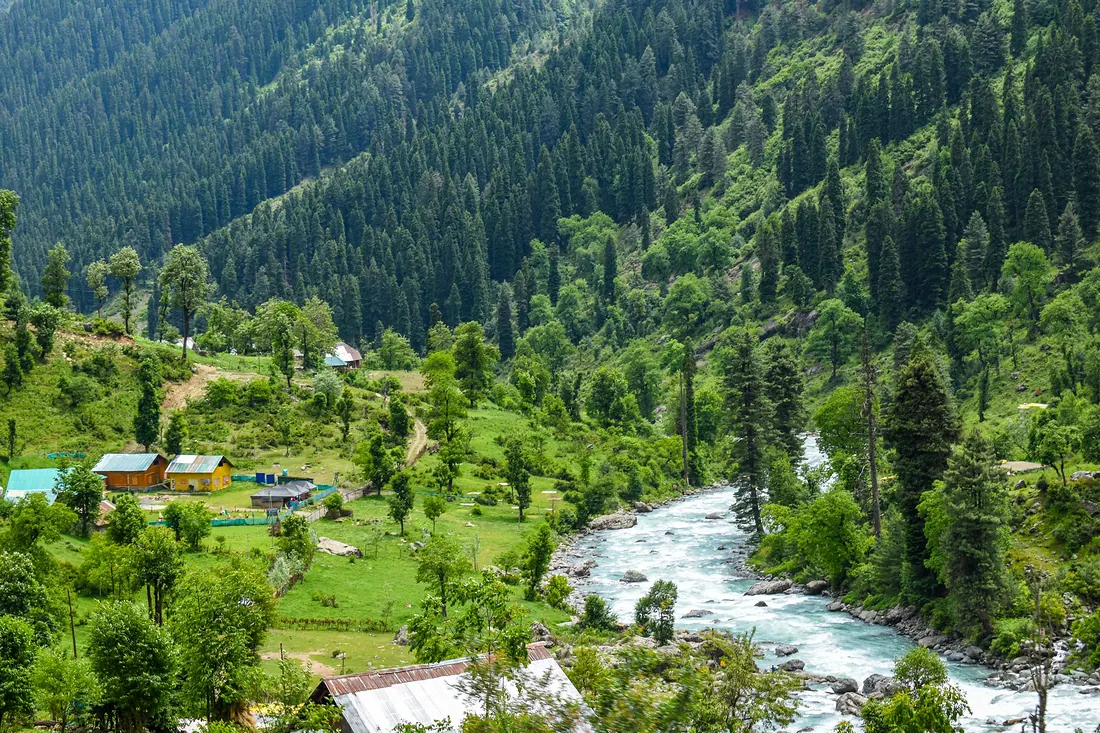
Neelum Valley
A 200 km valley along the Neelum River from Muzaffarabad: Keran, Sharda, Kel, Arang Kel and Taobat, with Ratti Gali Lake high above Dowarian.