Moderate
Tato to Fairy Meadows
The classic walk from the jeep road end up through pine forest to the meadow facing Nanga Parbat. Horses can carry bags.
Best season: May–Oct · figures are approximate
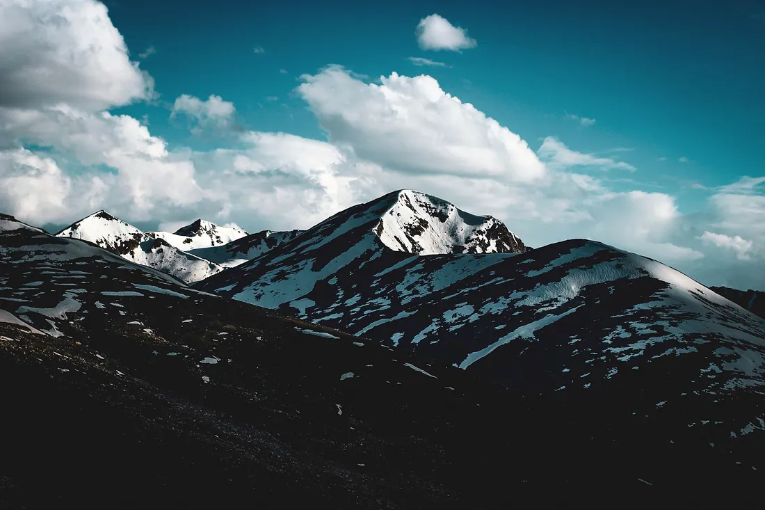
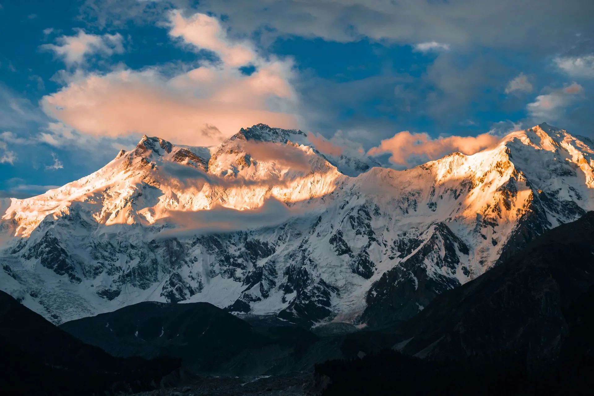
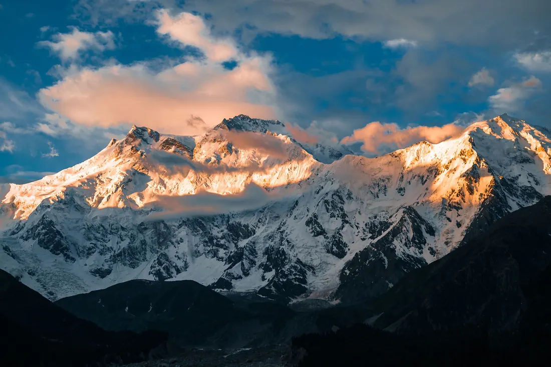
A meadow in pine forest facing the north face of Nanga Parbat (8,126 m), the ninth-highest mountain on earth.
Compared with Islamabad and the nearest places. Above 2,500 m, take it slowly.
The German climber Hermann Buhl made the first ascent of Nanga Parbat in 1953. The meadow got its name from German climbers who called it a fairy-tale meadow.
KKH to Raikot Bridge → jeep on a narrow cliff track to Tato/Jhel → hike.
Return fuel for one car about Rs 27,000 · jeep hire extra
From Lahore add about 4.5 h; from Peshawar add about 1.5 h. Coaches run to the main towns (Mingora, Naran, Gilgit, Skardu, Chitral, Muzaffarabad).
| From | Distance | Drive time |
|---|---|---|
| Islamabad | ≈ 470 km | 11–12 + trek h |
| Peshawar | ≈ 550 km | 12.5–13.5 + trek h |
| Lahore | ≈ 845 km | 15.5–16.5 + trek h |
Loading the cost planner…
Stay: Wooden huts and camps run by locals.
Food: Simple camp meals.
Moderate
The classic walk from the jeep road end up through pine forest to the meadow facing Nanga Parbat. Horses can carry bags.
Best season: May–Oct · figures are approximate
Hard
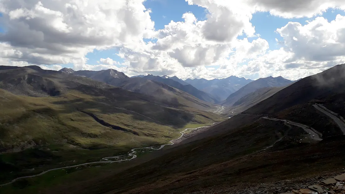
From Fairy Meadows on to Beyal and the moraine viewpoint under the Raikot glacier. Big views of the north face.
Best season: Jun–Sep · figures are approximate
Location is approximate. Open in Google Maps
Straight-line distance; road distance is longer in the mountains.

Valley on the east side of Nanga Parbat.

A hot, rocky town on the Indus and the Karakoram Highway, where the Babusar road comes down.

The highest point of the Kaghan Valley road, a windswept pass between Kaghan and Chilas, with Lulusar Lake on the way up.

The capital and crossroads of Gilgit-Baltistan, on the Gilgit River, where roads branch to Hunza, Naltar, Ghizer and Skardu.