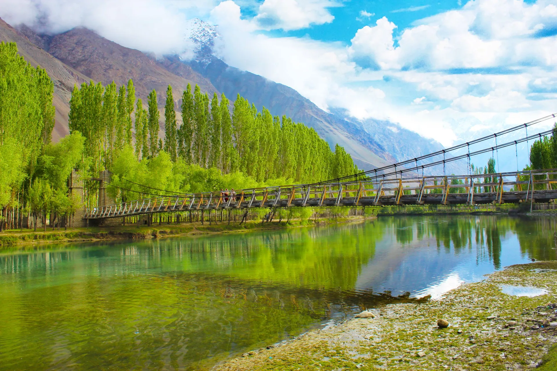
Gilgit City
گلگتThe capital and crossroads of Gilgit-Baltistan, on the Gilgit River, where roads branch to Hunza, Naltar, Ghizer and Skardu.
Overview
The capital and crossroads of Gilgit-Baltistan, on the Gilgit River, where roads branch to Hunza, Naltar, Ghizer and Skardu.
When to go
Altitude compared
Compared with Islamabad and the nearest places. Above 2,500 m, take it slowly.
Top things to do
- Kargah Buddha rock carving (about 7th century)
- Gilgit bazaar for gems and dried fruit
- Polo ground matches
History
Gilgit was an old Silk Road stop and later the base of the British Gilgit Agency. On 1 November 1947 local forces rose against Dogra rule, and the region joined Pakistan; 1 November is still celebrated as Independence Day of Gilgit-Baltistan.
Getting there
Summer: via Babusar. All year: Karakoram Highway. Flights from Islamabad.
- Islamabad
- Gilgit CityBy car · 11–14 h
Return fuel for one car about Rs 29,000
- Islamabad
- Gilgit airportFlight · about 1 h · weather-dependent
Islamabad–Gilgit: PIA flies (about 1 hour). Often cancelled for weather; fares vary by date.
From Lahore add about 4.5 h; from Peshawar add about 1.5 h. Coaches run to the main towns (Mingora, Naran, Gilgit, Skardu, Chitral, Muzaffarabad).
| From | Distance | Drive time |
|---|---|---|
| Islamabad | ≈ 500 km | 11–14 h |
| Peshawar | ≈ 580 km | 12.5–15.5 h |
| Lahore | ≈ 875 km | 15.5–18.5 h |
✈ Islamabad–Gilgit: PIA flies (about 1 hour). Often cancelled for weather; fares vary by date.
Trip cost
Loading the cost planner…
What to pack
Where to stay & eat
Stay: Wide choice of hotels.
Food: Chapshuro, local trout, dried apricots.
Good to know
- Good place to rest one night before going higher.
Traveller reports
Map
Location is approximate. Open in Google Maps
Closest places to Gilgit City
Straight-line distance; road distance is longer in the mountains.
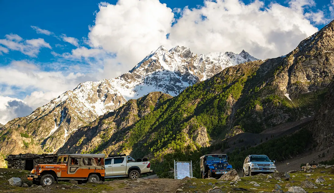
Naltar Valley
A pine valley north of Gilgit with colourful lakes: Satrangi (seven-colour) Lake, Blue Lake and Pari Lake.
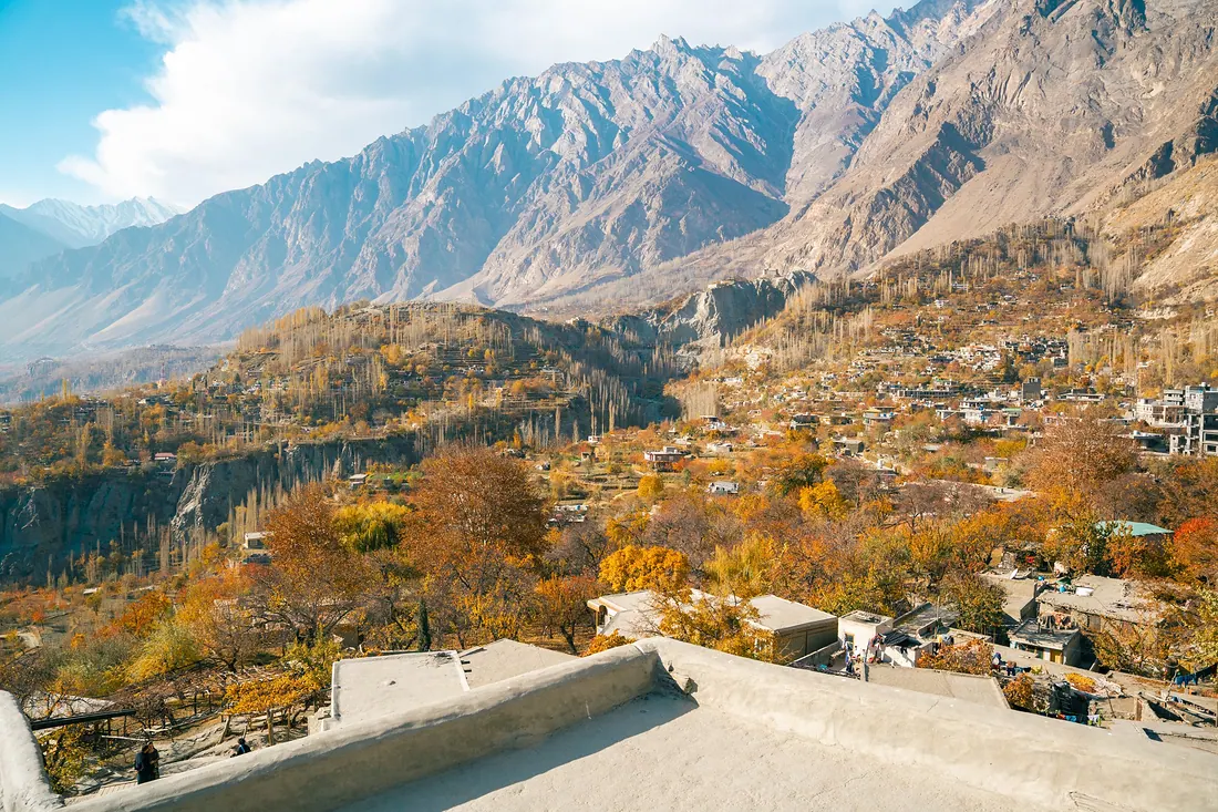
Hunza (Karimabad)
Terraced valley under Rakaposhi and Ultar peaks, with old forts, apricot orchards, Attabad Lake and the road to Khunjerab Pass.
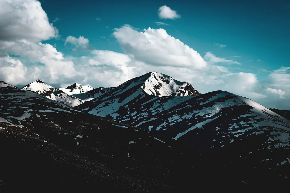
Chilas
A hot, rocky town on the Indus and the Karakoram Highway, where the Babusar road comes down.
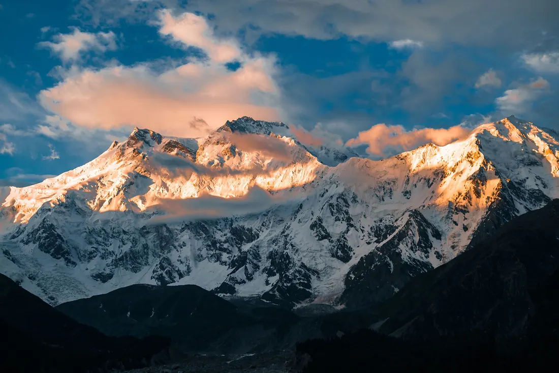
Fairy Meadows
A meadow in pine forest facing the north face of Nanga Parbat (8,126 m), the ninth-highest mountain on earth.