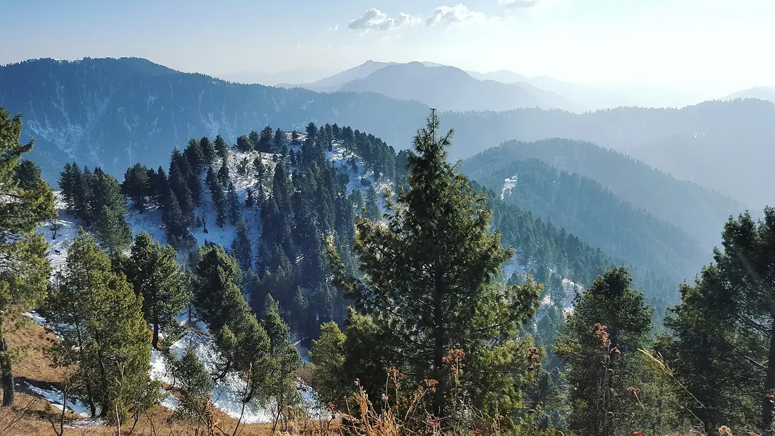
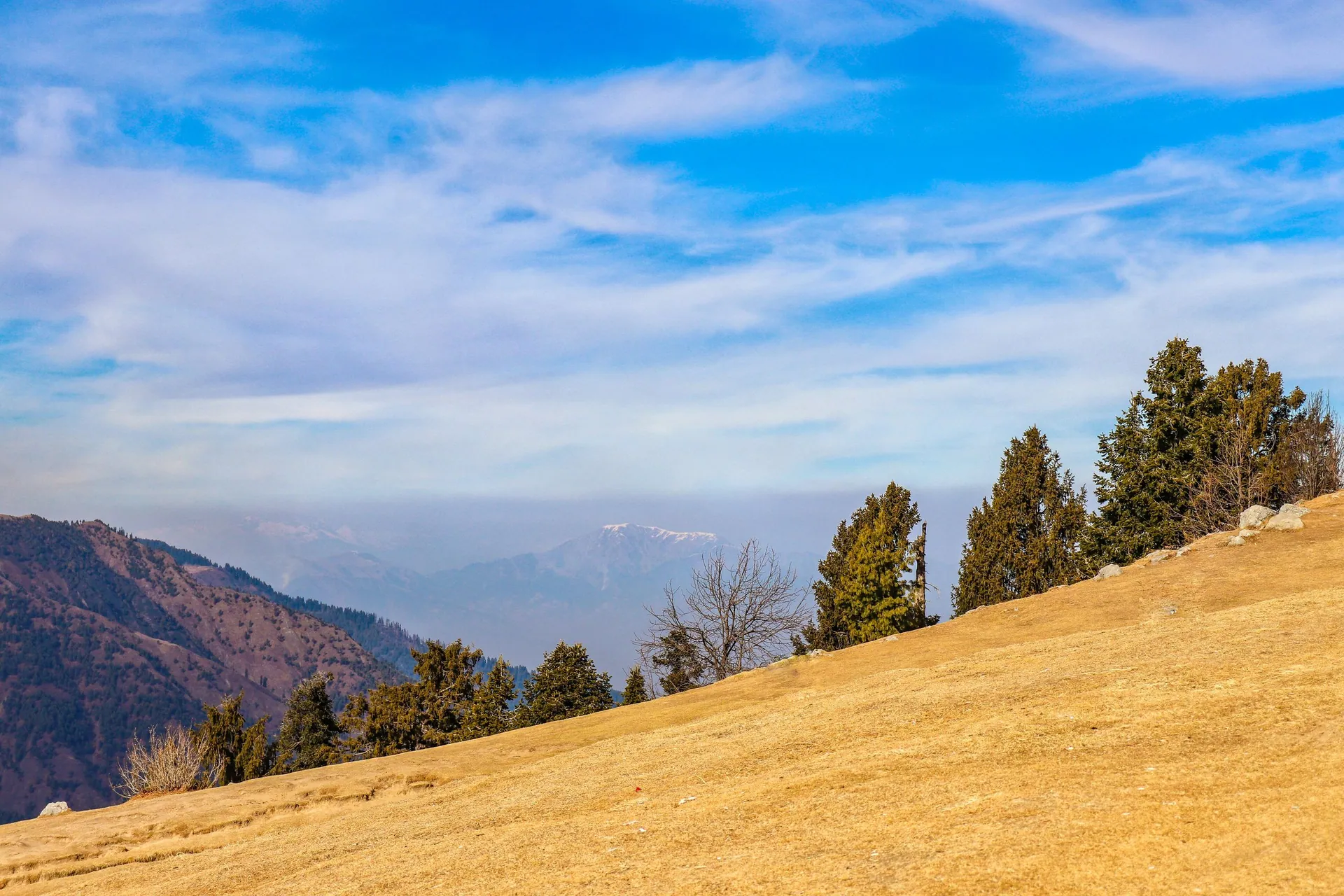
The quieter, greener hill stations of the Galiyat ridge between Murree and Abbottabad: oak and pine forest, Mukshpuri and Miranjani peaks and the Pipeline walking track.
Hills of Nathia Gali
Altitude≈ 2,500 m
From Islamabad2.5 h
Budget trip—
Mobile signalAll networks
Overview
The quieter, greener hill stations of the Galiyat ridge between Murree and Abbottabad: oak and pine forest, Mukshpuri and Miranjani peaks and the Pipeline walking track.
: usually closed or not advised. Snow or weather normally blocks this place now. Best season: All year · snow Dec–Feb.
When to go
JanFebMarAprMayJunJulAugSepOctNovDec
BestPossibleClosed or not advised
Altitude compared
Compared with Islamabad and the nearest places. Above 2,500 m, take it slowly.
Top things to do
Pipeline Track from Dunga Gali to Ayubia (about 4 km, flat)
Mukshpuri or Miranjani hike
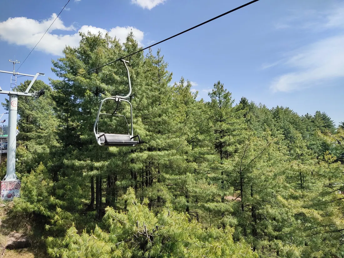
Ayubia chairlift
Bird watching in the forest
History
Nathia Gali was the summer headquarters of the British governor of the North-West Frontier Province. The old Governor House and St Matthew's Church still stand. Ayubia was named after President Ayub Khan.
Getting there
Islamabad → Murree → Galiyat road, or from Abbottabad.
DriveRecommended2.5 h
Islamabad
Nathia Gali & AyubiaBy car · 2.5 h
Return fuel for one car about Rs 5,000
From Lahore add about 4.5 h; from Peshawar add about 2.5 h. Coaches run to the main towns (Mingora, Naran, Gilgit, Skardu, Chitral, Muzaffarabad).
From
Distance
Drive time
Islamabad
≈ 85 km
2.5 h
Peshawar
≈ 265 km
5 h
Lahore
≈ 460 km
7 h
Trip cost
Loading the cost planner…
What to pack
Where to stay & eat
Stay: Hotels and cottages in Nathia Gali, Dunga Gali and Bhurban.
Food: Hotel restaurants and roadside tea stalls.
Good to know
Leopards live in these forests; do not walk trails alone after dark.
 Easy