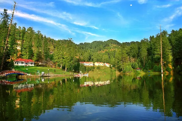
Overview
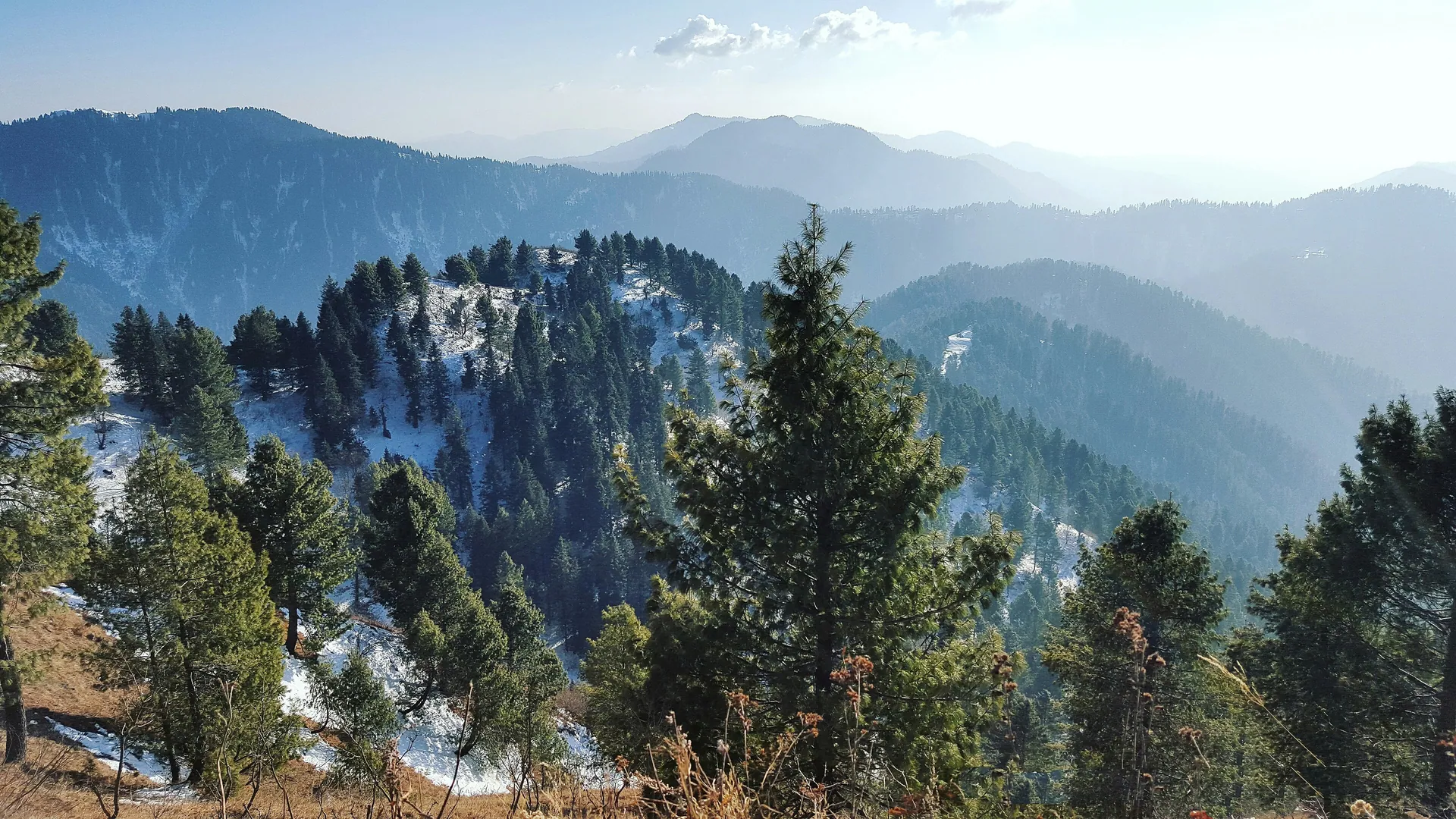
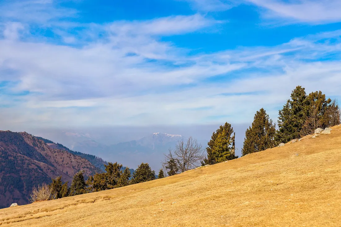
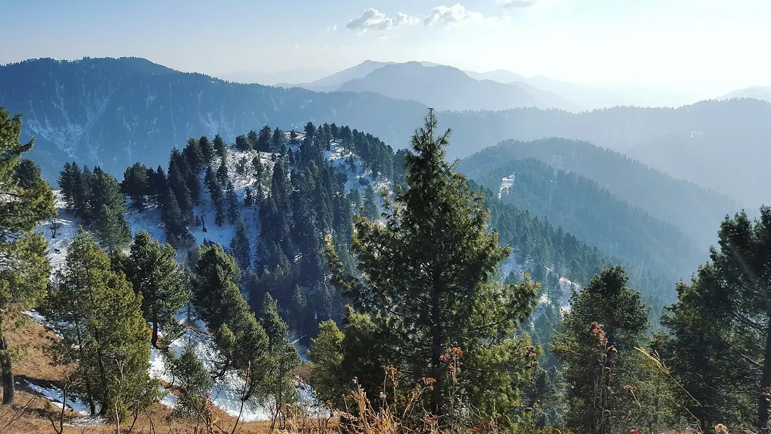
The highest peak of the Galiyat, reached by a forest trail from Nathia Gali. On clear days you can see Nanga Parbat from the top.
: usually closed or not advised. Snow or weather normally blocks this place now. Best season: Apr–Nov (snow trek in winter).
Less verified place. Information is thinner than for famous spots. Go with a local guide and ask in the nearest town about the route.
When to go
JanFebMarAprMayJunJulAugSepOctNovDec
BestPossibleClosed or not advised
Altitude compared
Compared with Islamabad and the nearest places. Above 2,500 m, take it slowly.
Top things to do
- Hike from Nathia Gali (about 2–3 hours up)
- Sunrise or clear-day views of Nanga Parbat
- Combine with Mushkpuri Top
History
Hikers have used the trail since the British era, when Nathia Gali was the summer seat of the NWFP government.
Getting there
Start from behind the church in Nathia Gali; the trail is well used.
DriveRecommended4.5–6 h
Islamabad
Nathia GaliBy car · 2.5–3 h
Miranjani summitOn foot · 2–3 h
Return fuel for one car about Rs 5,000
From Lahore add about 4.5 h; from Peshawar add about 2.5 h. Coaches run to the main towns (Mingora, Naran, Gilgit, Skardu, Chitral, Muzaffarabad).
| From | Distance | Drive time |
|---|
| Islamabad | ≈ 90 km | 2.5 + 2–3 hour hike h |
| Peshawar | ≈ 270 km | 5 + 2–3 hour hike h |
| Lahore | ≈ 465 km | 7 + 2–3 hour hike h |
Trip cost
Loading the cost planner…
What to pack
Where to stay & eat
Stay: Hotels in Nathia Gali.
Food: Carry water; food in Nathia Gali.
Good to know
- Start early; clouds build by afternoon.
- Snow and ice in winter need proper shoes.
Trails here
 Moderate
Miranjani PeakMiranjani summit
4.5 kmLength+500 mElevation gain2–3 up hTimeOut and backRoute
The highest point of the Galiyat. A forest trail that ends on a rocky top with views towards Nanga Parbat on clear mornings.
Best season: Apr–Nov · figures are approximate
Map
Location is approximate. Open in Google Maps