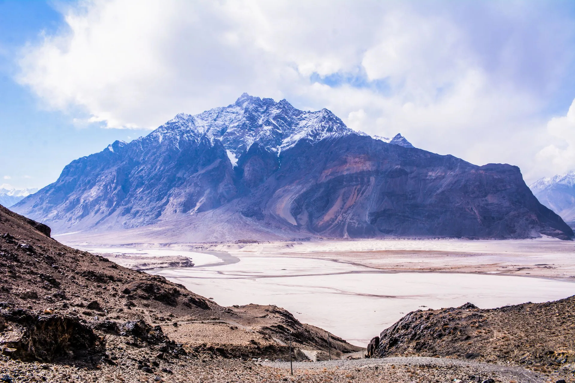
Gilgit-Baltistan
گلگت بلتستانWhere the Karakoram, Himalaya and Hindu Kush meet: K2, Nanga Parbat, Hunza, Skardu and the Karakoram Highway to China.
About the region
Gilgit-Baltistan holds five of the world's fourteen peaks above 8,000 m and some of the longest glaciers outside the poles. Distances are long and roads mountainous, so plan extra days for weather and landslides.
A short history
Its valleys were once small kingdoms ruled by Mirs and Rajas — Hunza, Nagar, Skardu, Shigar and others — linked by branches of the ancient Silk Road. The Karakoram Highway, completed in 1978 by Pakistan and China, opened the region to the world.
Gilgit-Baltistan on the map
Places in Gilgit-Baltistan
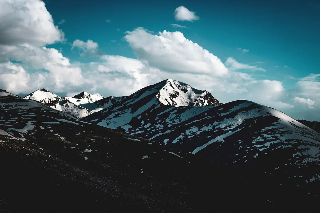
Chilas
A hot, rocky town on the Indus and the Karakoram Highway, where the Babusar road comes down.
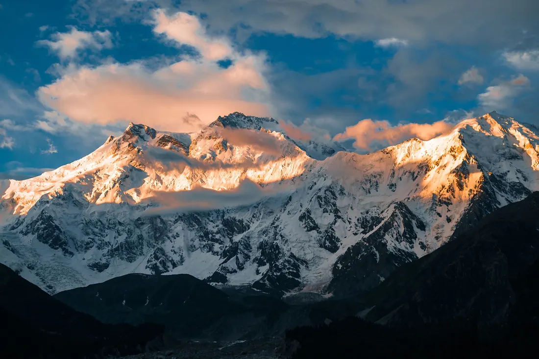
Fairy Meadows
A meadow in pine forest facing the north face of Nanga Parbat (8,126 m), the ninth-highest mountain on earth.
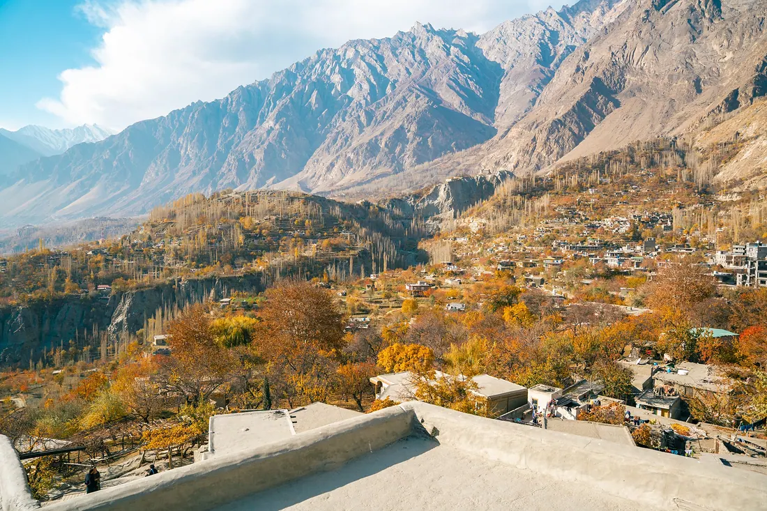
Hunza (Karimabad)
Terraced valley under Rakaposhi and Ultar peaks, with old forts, apricot orchards, Attabad Lake and the road to Khunjerab Pass.
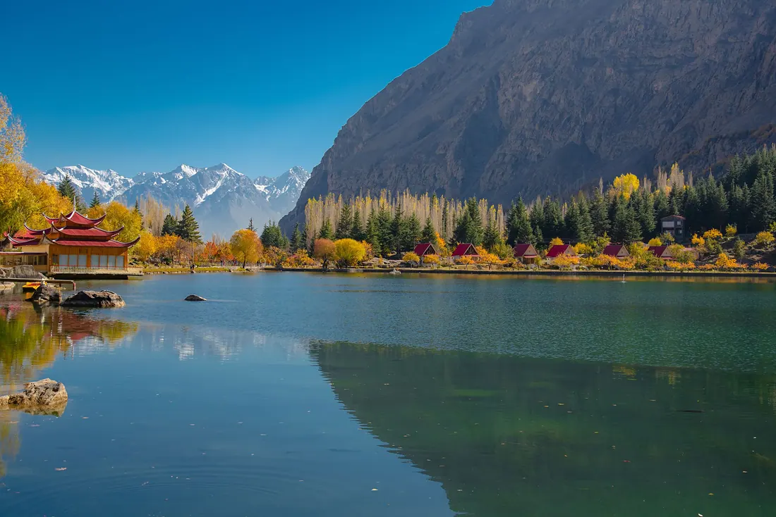
Skardu
Capital of Baltistan on the Indus: cold desert, blue lakes and the gateway to K2 and the Baltoro glacier.
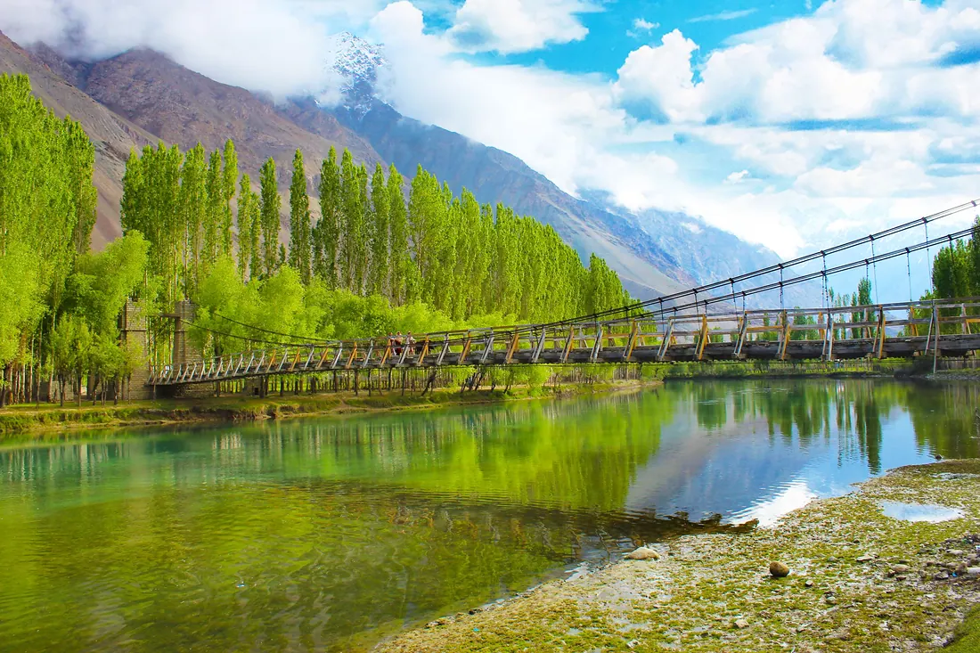
Gilgit City
The capital and crossroads of Gilgit-Baltistan, on the Gilgit River, where roads branch to Hunza, Naltar, Ghizer and Skardu.
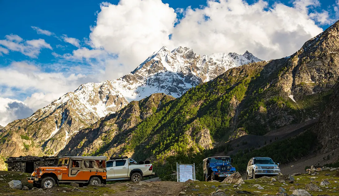
Naltar Valley
A pine valley north of Gilgit with colourful lakes: Satrangi (seven-colour) Lake, Blue Lake and Pari Lake.
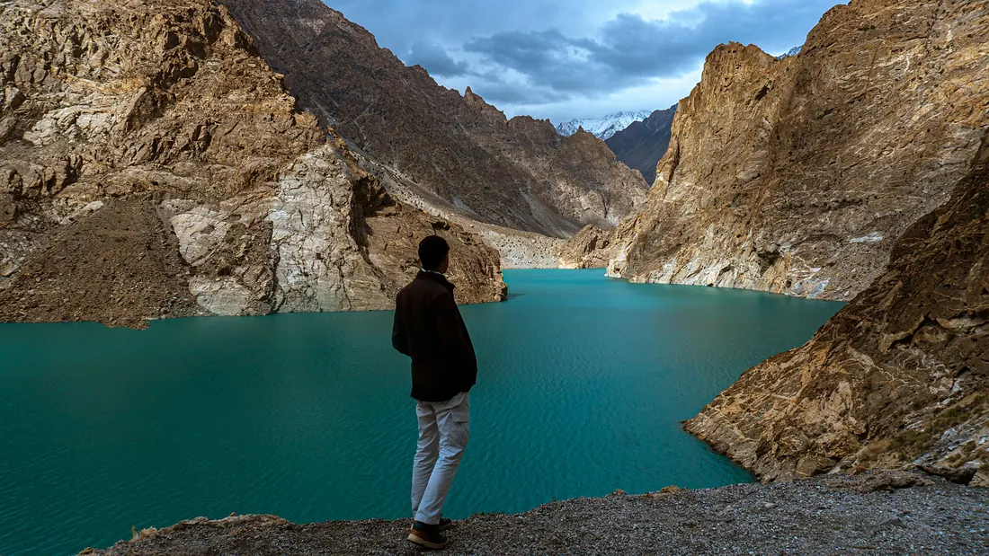
Attabad Lake
A turquoise lake along the Karakoram Highway between Hunza and Gojal, with boating, jet skis and lakeside resorts.
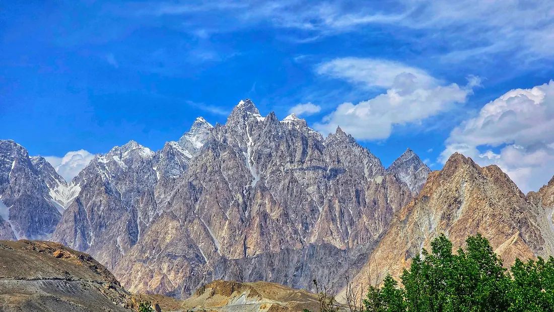
Passu & Khunjerab Pass
Upper Hunza (Gojal): the sharp Passu Cones, Hussaini suspension bridge, Passu glacier, and Khunjerab Pass at about 4,690 m on the China border, one of the highest paved border crossings in the world.
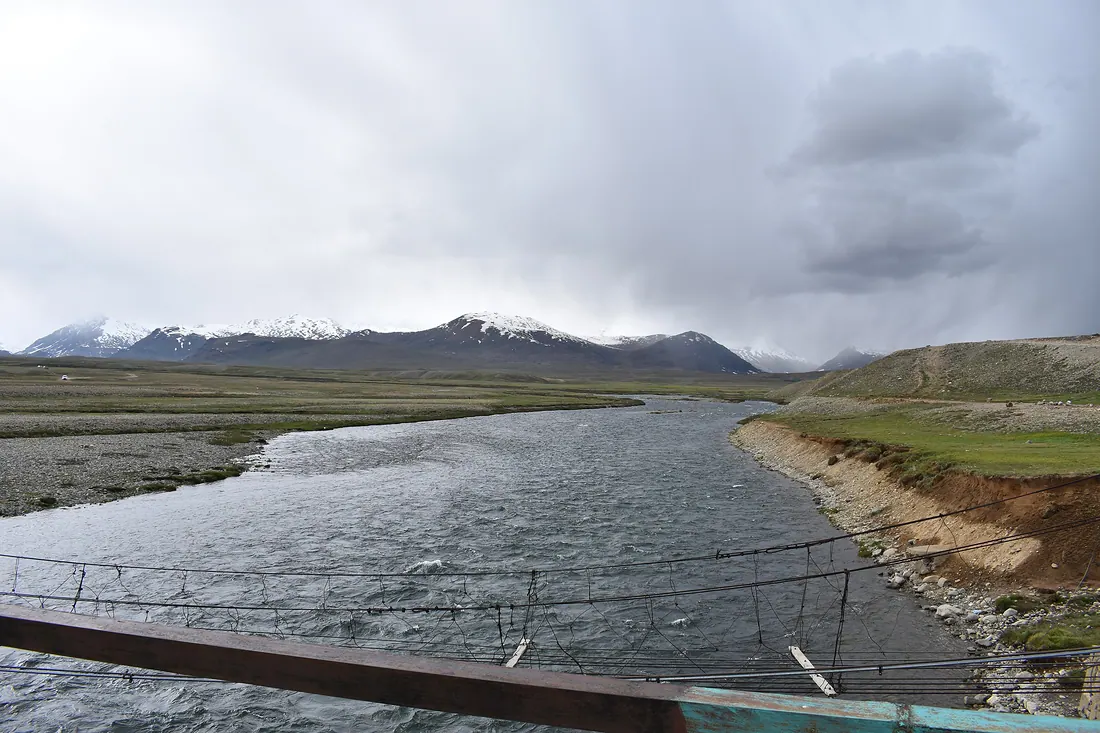
Deosai Plains
One of the highest plateaus in the world, a national park of wildflowers and streams, home of the Himalayan brown bear.
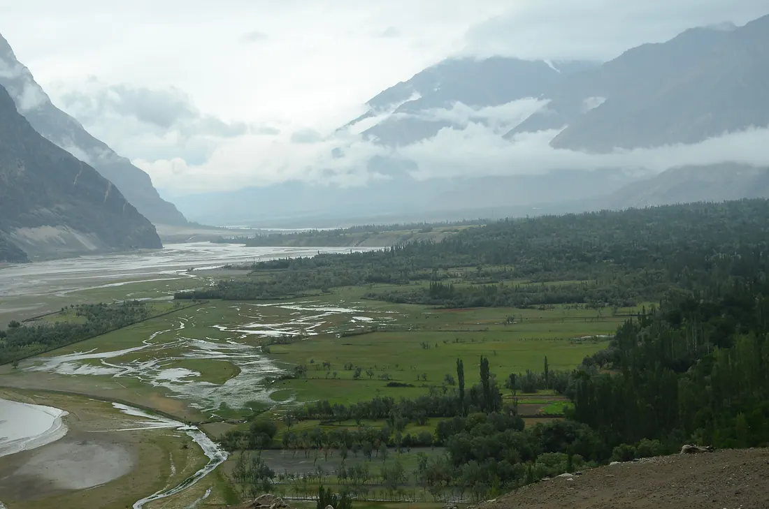
Shigar Valley
Green valley north of Skardu on the road to K2, with the restored Shigar Fort, the Sarfaranga cold desert and old wooden mosques.
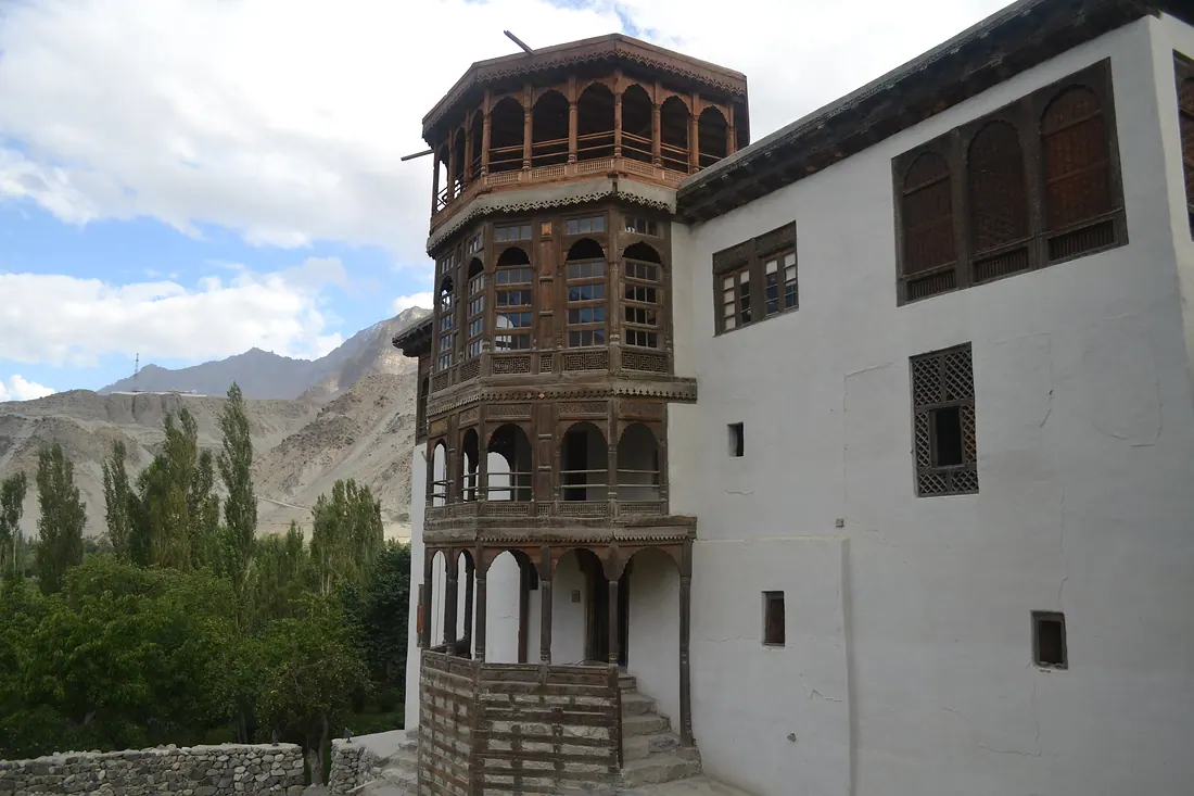
Khaplu
Quiet town in the Ghanche valley east of Skardu, with the beautiful Khaplu Palace and Chaqchan Mosque, and views towards Masherbrum.
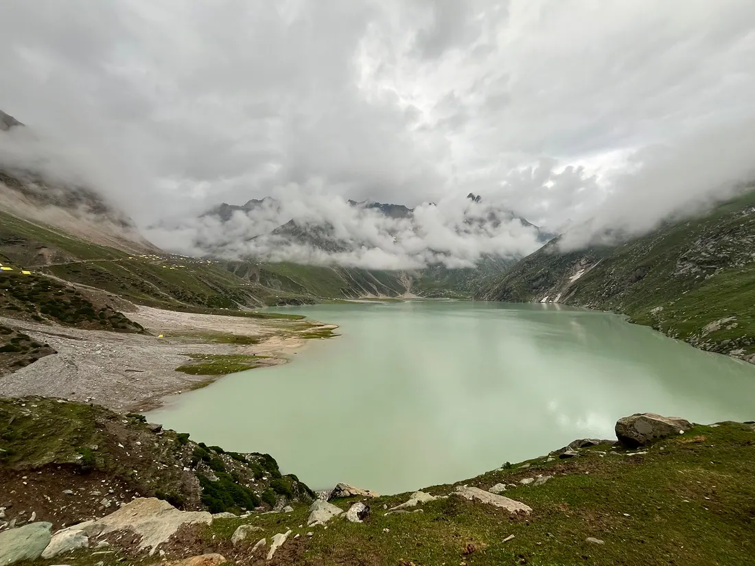
Astore & Rama Meadows
Valley on the east side of Nanga Parbat.
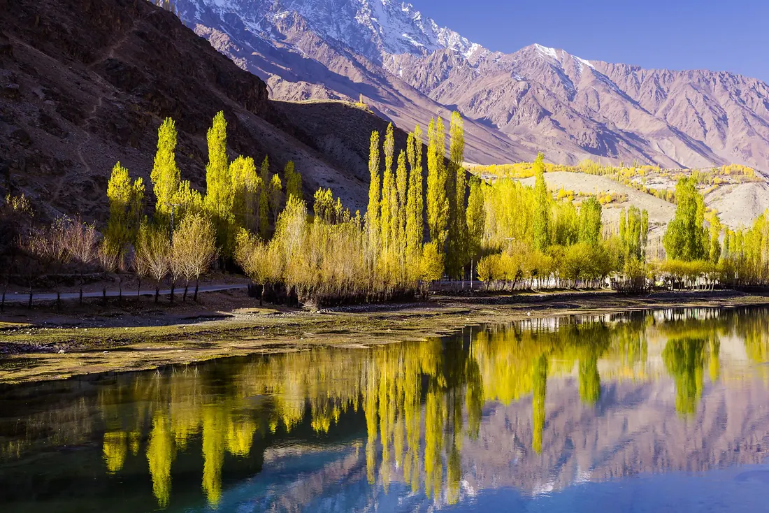
Phander & Ghizer
The western valleys of Gilgit-Baltistan: Phander Lake, trout streams and willow trees that turn gold in October, on the road towards Shandur.
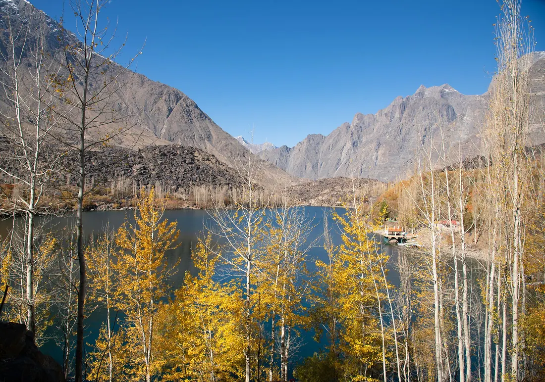
Upper Kachura Lake
A clear, deep-green lake surrounded by apricot trees and steep mountains, a short drive from Skardu.
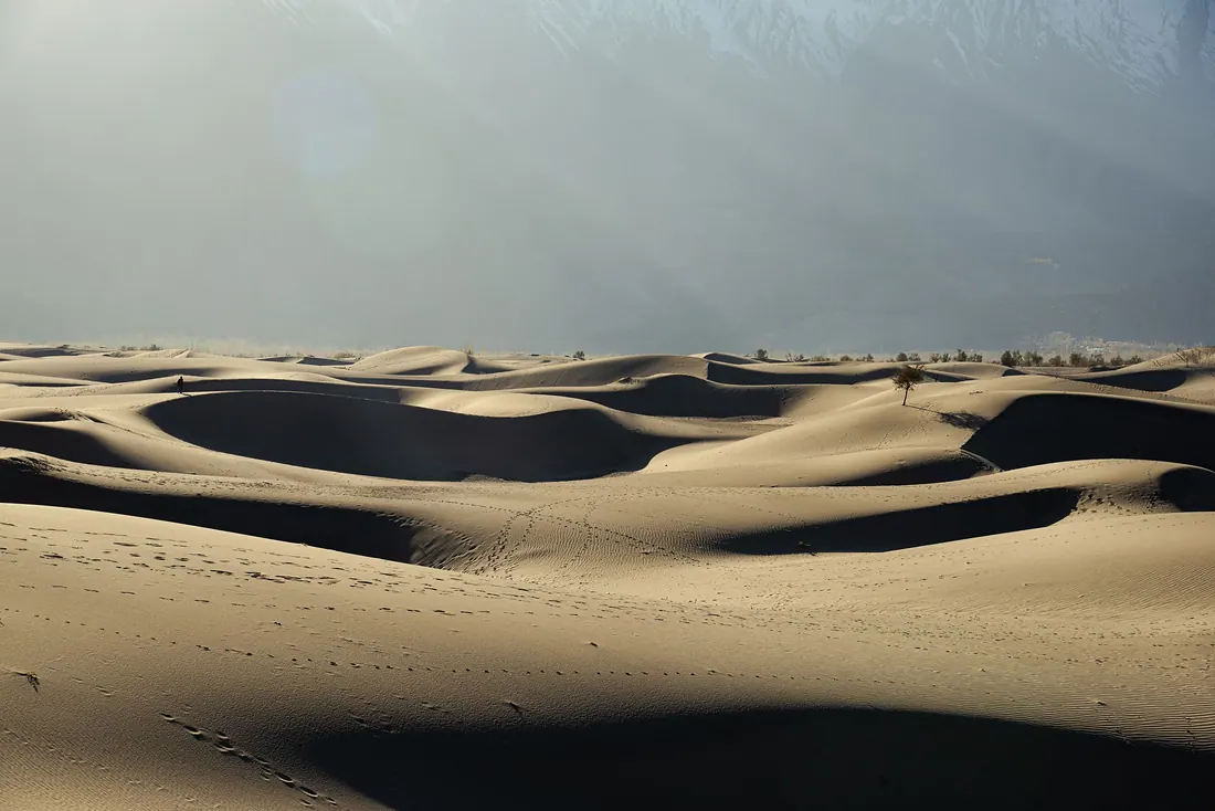
Sarfaranga Cold Desert
White sand dunes at high altitude, framed by snow peaks, in the Shigar–Skardu area.
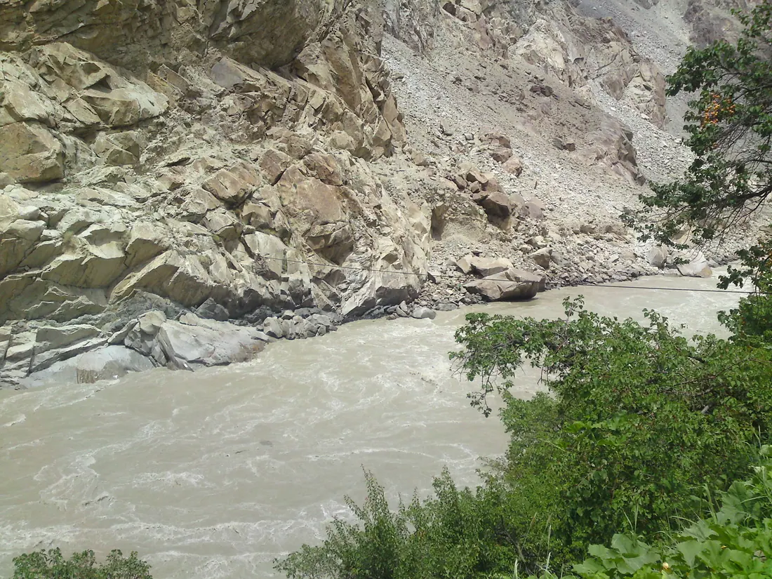
Manthoka Waterfall
A tall waterfall falling through a green gorge in Kharmang district, south-east of Skardu.
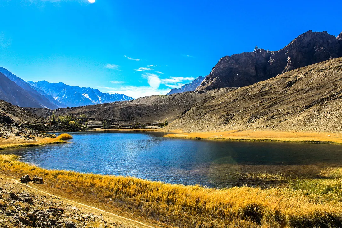
Borith Lake & Hussaini
A small brackish lake above Hussaini village in Upper Hunza (Gojal), with views of the Passu Cones and the Batura glacier.
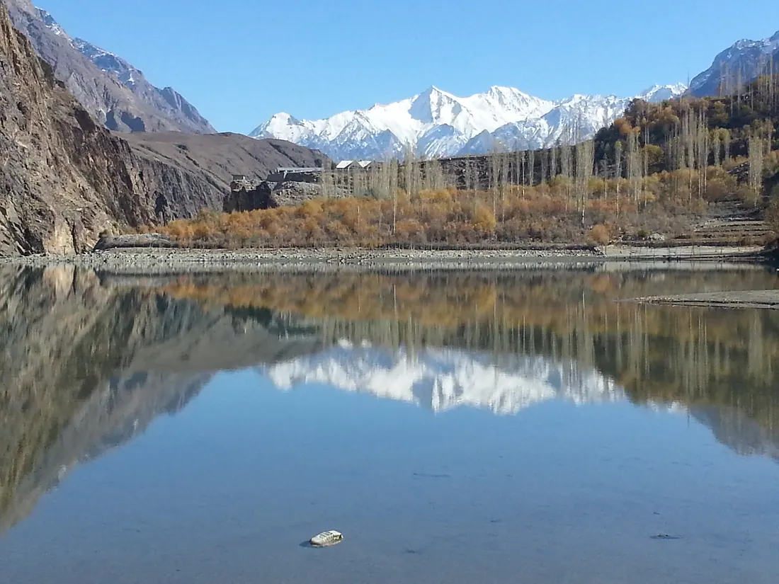
Khalti Lake
A long, calm, deep-blue lake beside the road in Ghizer, famous for trout and for freezing over completely in winter.