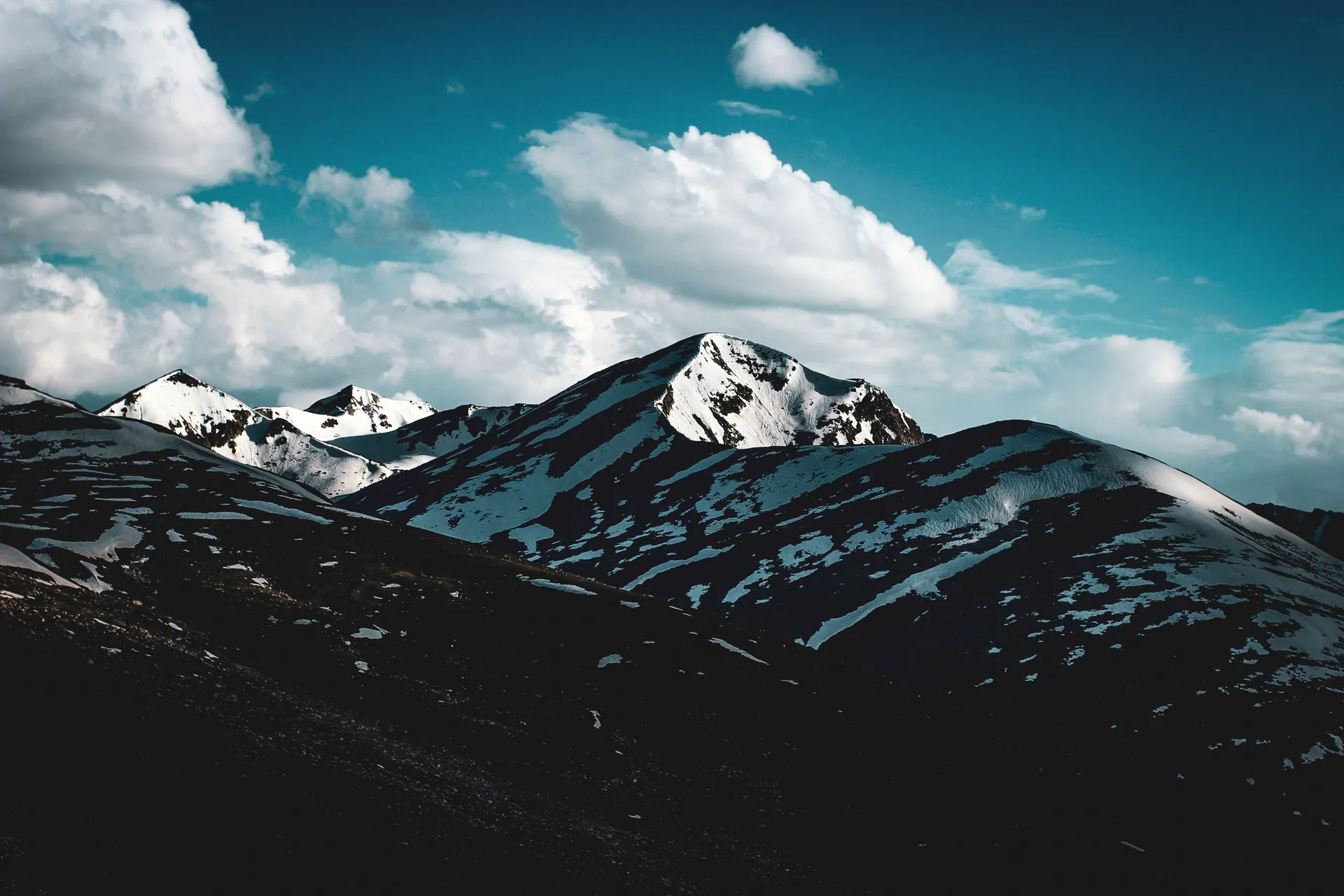
Chilas
چلاسA hot, rocky town on the Indus and the Karakoram Highway, where the Babusar road comes down. Main stop between Kaghan and Gilgit.
Overview
A hot, rocky town on the Indus and the Karakoram Highway, where the Babusar road comes down. Main stop between Kaghan and Gilgit.
When to go
Altitude compared
Compared with Islamabad and the nearest places. Above 2,500 m, take it slowly.
Top things to do
- Rock carvings along the KKH
- Views of Nanga Parbat on the way to Raikot Bridge
History
The rocks along the Indus around Chilas carry tens of thousands of ancient carvings and inscriptions, left by travellers, traders and Buddhist pilgrims over two thousand years. They are among the largest rock-art collections in the world.
Getting there
Summer: Naran → Babusar Top → Chilas. All year: KKH via Besham and Dasu.
- Islamabad
- ChilasBy car · 9–10 h
Return fuel for one car about Rs 23,000
From Lahore add about 4.5 h; from Peshawar add about 1.5 h. Coaches run to the main towns (Mingora, Naran, Gilgit, Skardu, Chitral, Muzaffarabad).
| From | Distance | Drive time |
|---|---|---|
| Islamabad | ≈ 400 km | 9–10 (via Babusar, summer) h |
| Peshawar | ≈ 480 km | 10.5–11.5 (via Babusar, summer) h |
| Lahore | ≈ 775 km | 13.5–14.5 (via Babusar, summer) h |
Trip cost
Loading the cost planner…
What to pack
Where to stay & eat
Stay: Hotels in Chilas town.
Food: Local hotels on the KKH.
Good to know
- In summer temperatures can pass 40°C; travel early.
- Babusar Pass is usually open only from about June to October.
Traveller reports
Map
Location is approximate. Open in Google Maps
Closest places to Chilas
Straight-line distance; road distance is longer in the mountains.
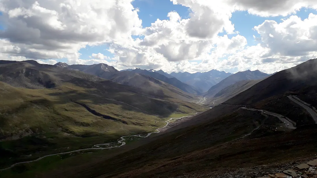
Babusar Top & Lulusar
The highest point of the Kaghan Valley road, a windswept pass between Kaghan and Chilas, with Lulusar Lake on the way up.
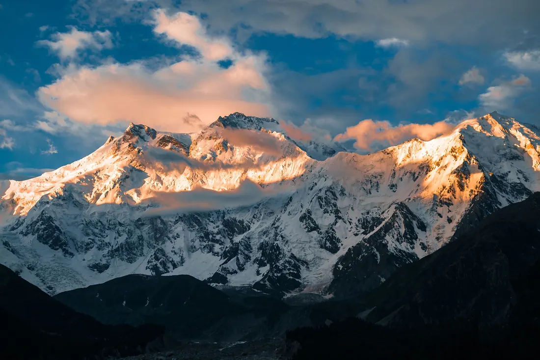
Fairy Meadows
A meadow in pine forest facing the north face of Nanga Parbat (8,126 m), the ninth-highest mountain on earth.
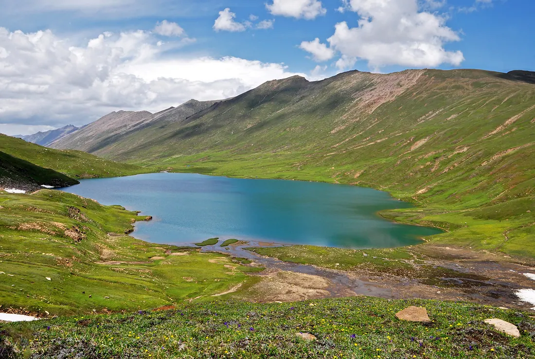
Dudipatsar Lake
A high glacial lake inside Lulusar–Dudipatsar National Park, its name meaning white lake for the snow around it.
Gilgit City
The capital and crossroads of Gilgit-Baltistan, on the Gilgit River, where roads branch to Hunza, Naltar, Ghizer and Skardu.