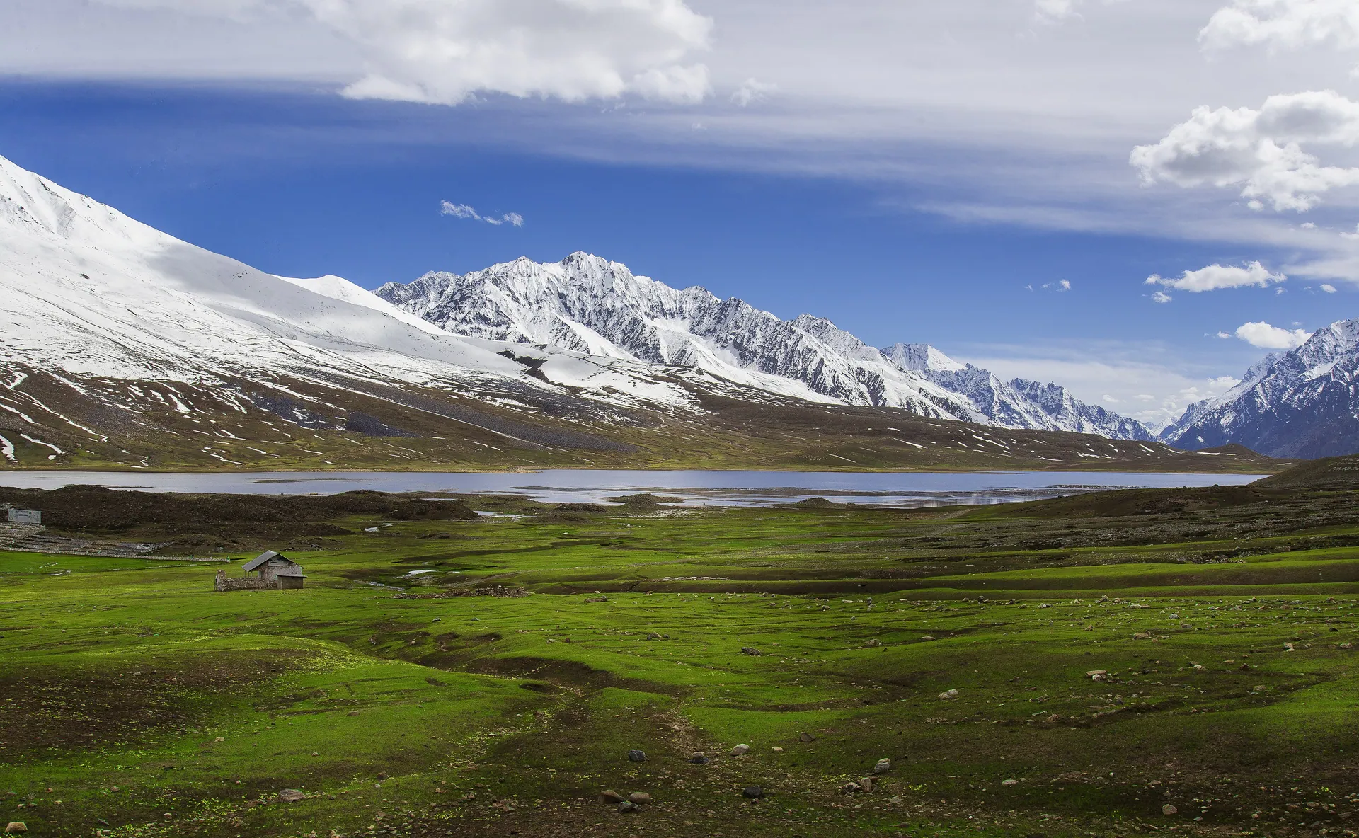
Shandur Pass
شندورA high, open plateau between Chitral and Ghizer with a lake and the famous polo ground often called the roof of the world.
Overview
A high, open plateau between Chitral and Ghizer with a lake and the famous polo ground often called the roof of the world.
When to go
Altitude compared
Compared with Islamabad and the nearest places. Above 2,500 m, take it slowly.
Top things to do
- Watch the Shandur Polo Festival in early July
- Walk around Shandur Lake
- Cross over into Phander and Ghizer
History
The Shandur Polo Festival, played between the teams of Chitral and Gilgit, is held here every July and draws crowds from across Pakistan.
Getting there
From Chitral drive via Booni and Mastuj up to the pass; or come from Gilgit via Gupis and Phander.
- Islamabad
- ChitralBy car · 9–10 h · Lowari Tunnel
- Shandur Pass4x4 jeep · 4–5 h · Via Booni and Mastuj · jeep about Rs 8,000
Return fuel for one car about Rs 30,500 · jeep hire extra
From Lahore add about 4.5 h; from Peshawar subtract about 1.5 h. Coaches run to the main towns (Mingora, Naran, Gilgit, Skardu, Chitral, Muzaffarabad).
| From | Distance | Drive time |
|---|---|---|
| Islamabad | ≈ 530 km | 13–15 h |
| Peshawar | ≈ 440 km | 11.5–13.5 h |
| Lahore | ≈ 880 km | 17.5–19.5 h |
Trip cost
Loading the cost planner…
What to pack
Where to stay & eat
Stay: Tents during the festival; otherwise rest houses in Mastuj or Phander.
Food: Food stalls during the festival only; carry supplies at other times.
Good to know
- Festival dates change each year; check before planning.
- Altitude is high; go slowly if coming straight from the plains.
Traveller reports
Map
Location is approximate. Open in Google Maps
Closest places to Shandur Pass
Straight-line distance; road distance is longer in the mountains.
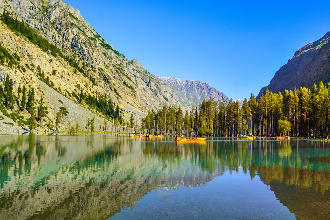
Mahodand Lake
A wide lake about 35–40 km above Kalam surrounded by meadows and snow peaks.
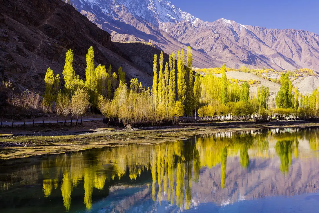
Phander & Ghizer
The western valleys of Gilgit-Baltistan: Phander Lake, trout streams and willow trees that turn gold in October, on the road towards Shandur.
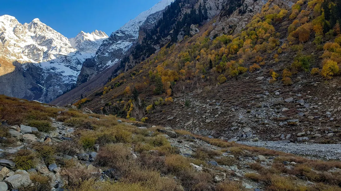
Ushu Forest & Matiltan
Tall deodar forest just above Kalam leading to Matiltan, where the white wall of Falak Sar (≈ 5,900 m) fills the end of the valley.
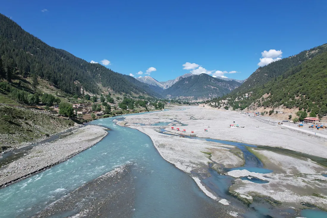
Kalam
The capital of upper Swat, where the Ushu and Utror rivers join to form the Swat River.